Dự Án
Measuring the current situation in Hoc Mon District, Ho Chi Minh City
Measuring the current situation in Hoc Mon District, Ho Chi Minh City for inspecting the current land use boundary and calculating the overall area
Location: Hoc Mon District, Ho Chi Minh City
Scope: 1 Ha.
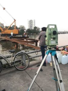
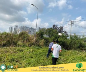
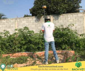
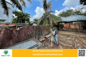
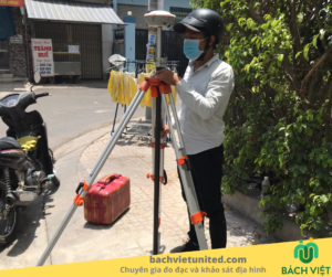
Hop Nhat Bach Viet used total station and receiver GNSS to measure the current situation of land use boundaries, traffic roads, fences, etc., for editing and creating the current location map.
Some pictures of measurements in the field:


Handover product is the current location map on on the basis of the 2003 cadastral map.