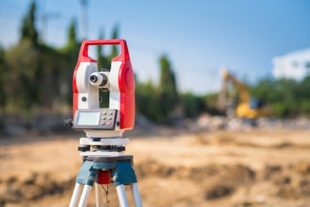
Measure the current status of the house and land
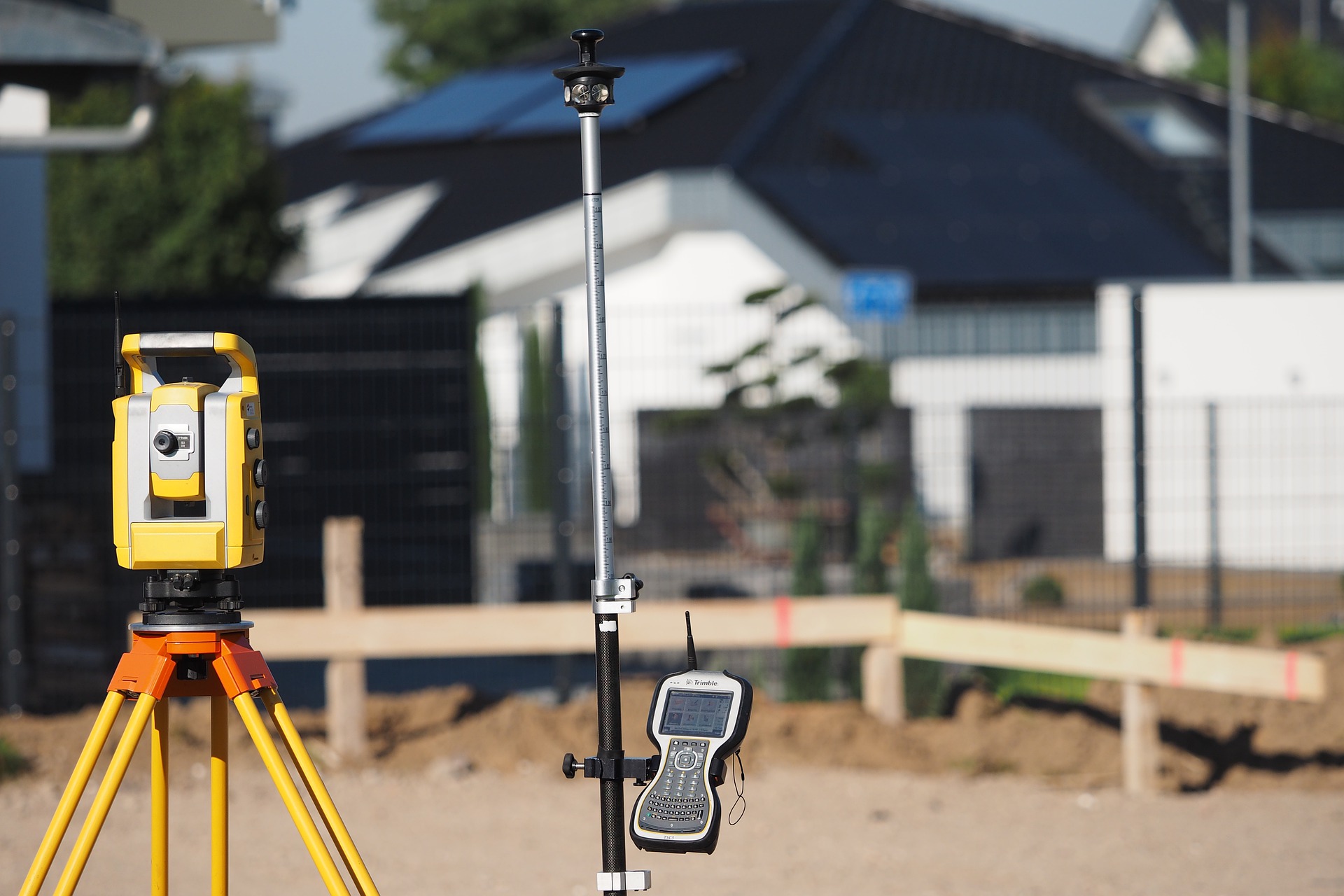
Measuring the current state of house and land location serving land lease for real estate project development, industrial zones.
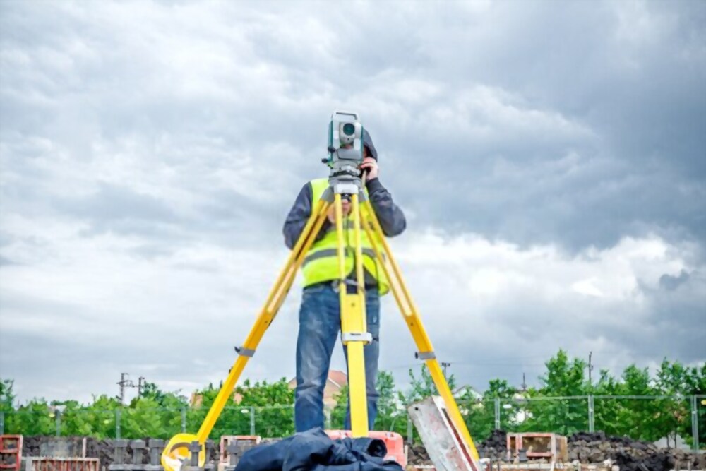
Measure and locate land boundary & set up landmarks of land boundary, planning boundary
Measure and set landmarks on project land boundaries, master plot division map boundary for land allocation.
Measure and making as built drawing
Đo đạc lập bản vẽ sơ đồ nhà ở đất ở, bản vẽ hiện trạng công trình xây dựng phục vụ cấp sở hữu tài sản trên đất cho: chung cư, tòa nhà văn phòng, nhà xưởng, nhà dân dụng, khách sạn và các công trình xây dựng trong khu chế xuất, khu công nghiệp, khu công nghệ cao.
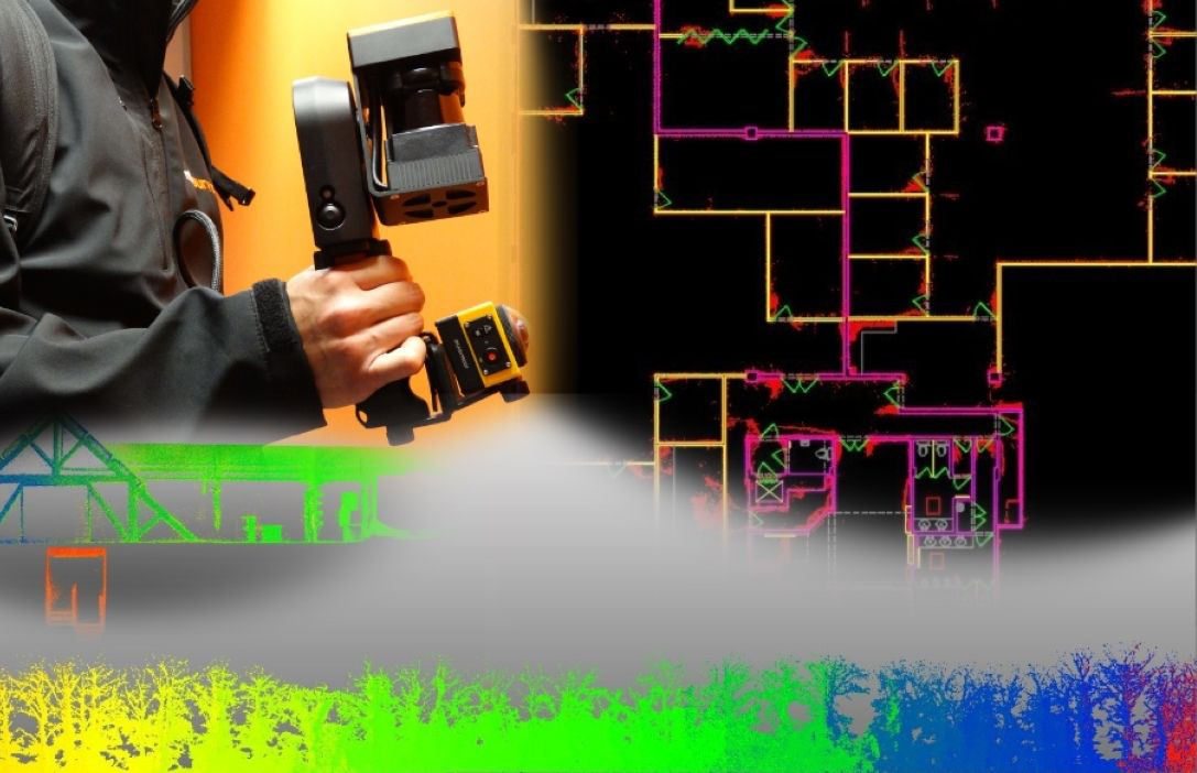
Sử dụng các thiết đo đạc tiên tiến phục vụ đo đạc hiện trạng công trình nhanh và mang lại độ chính xác cao. Sử dụng máy quét 3D laser scanning mang lại độ chính xác đo đạc đến 3mm. Phục vụ đo đạc hoàn công toàn bộ công trình cũng như từng căn hộ thuộc dự án chung cư một cách nhanh và chính xác rất nhiều so với đo bằng thước thép, máy đo laser truyền thống.

Perform full package cadastral measurements for the real estate project development
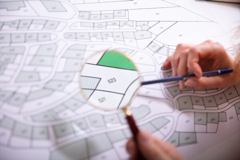
Đo đạc lập bản đồ giao thuê đất, bản đồ thu hồi đất, phục vụ bồi thường. Lập bản đồ: phục vụ duyệt quy hoạch 1/500; Bản đồ phục vụ thỏa thuận tĩnh không; Bản đồ hiện trạng vị trí phân lô tổng thể; Bản vẽ trích lô từng thửa đất phục vụ in Giấy chứng nhận; Bản đồ giao nền đất cho khách hàng; Bản đồ sơ đồ nhà ở đất ở phục vụ bàn giao nhà ở cho khách hàng…Cắm mốc ranh dự án và cắm mốc ranh từng thửa đất.
Making and managing the coordinate landmarks and elevation landmarks system . Consulting on cadastral measurement quality to ensure consistent and accurate data information for overall project
Ensure accuracy, professional services and absolute security.
Assigning overall plots, setting up landmarks for issuing LURC
Measuring and setting up landmarks of the overall project; Setting up plot markers according to the master division map of the 1/500 project; Draw up the drawing of the current location, drawing of the plot for the issuance of the Land Use Right Certificate.
Management system coordinates, elevation entire project
Full package consulting on the construction and management of the coordinates and elevation system for the whole project.
Ensuring the accurate and completely unified use of the landmark coordinates and elevation system and ensuring satisfactory quality management when the State Authority For Construction Quality Inspection inspects

