Topographic Surveys

Topographic survey serves many purposes: planning, designing, calculating volume of earthwork …

Đo đạc địa chính - Khảo sát địa hình - Scan 3D laser

Topographic survey by traditional methods

Topographic survey at the scales of 1/500, 1/1000, 1/2000 by using traditional measurement methods through the use of electronic total station, levelling machine combined with direct measurement method by equipment GNSS RTK (DGPS). Surveying and mapping the longitudinal section and cross section for technical infrastructure design: traffic road, embankment line …


Topographic survey with scale 1/1000 and 1/2000 by UAV device

Using DRONE equipment in topographic survey in large area at scales 1/1000, 1/2000 brings high economic efficiency

In addition, the topographic survey by DRONE also assesses the development of the forest, assesses and calculates the biomass of the forest as well as creates 3D maps for environmental impact assessment and warning applications. natural disasters.

Last but not least, a topographic survey by DRONE can assess floating reserves such as quarries and build 3D models for other purposes such as 3D modeling of resorts, monuments … thereby helping Managers can make quick decisions as well as monitor changes in the management area over time in an overview and intuitive way.

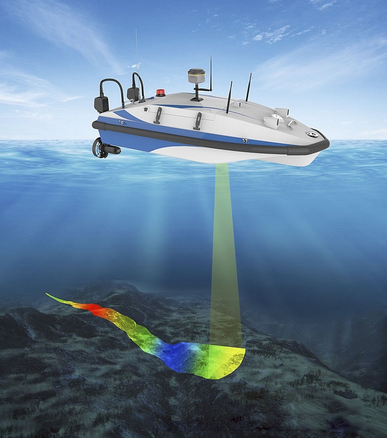
Topographic survey of riverbed, seabed and lake bed

Deeply measuring and making a terrain map of riverbed, lake bed and seabed for designing and dredging riverbed and lake bed.

Topographic survey with 3D laser scanning equipment

Topographic surveys with 3D laser equipment serve many purposes: collecting data on the current state, collecting vivid landscapes for precise design purposes in locations where personnel are limited.