Our UAV services
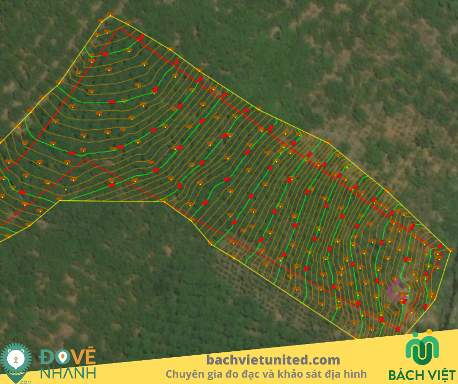
- Surveying and mapping photographic map
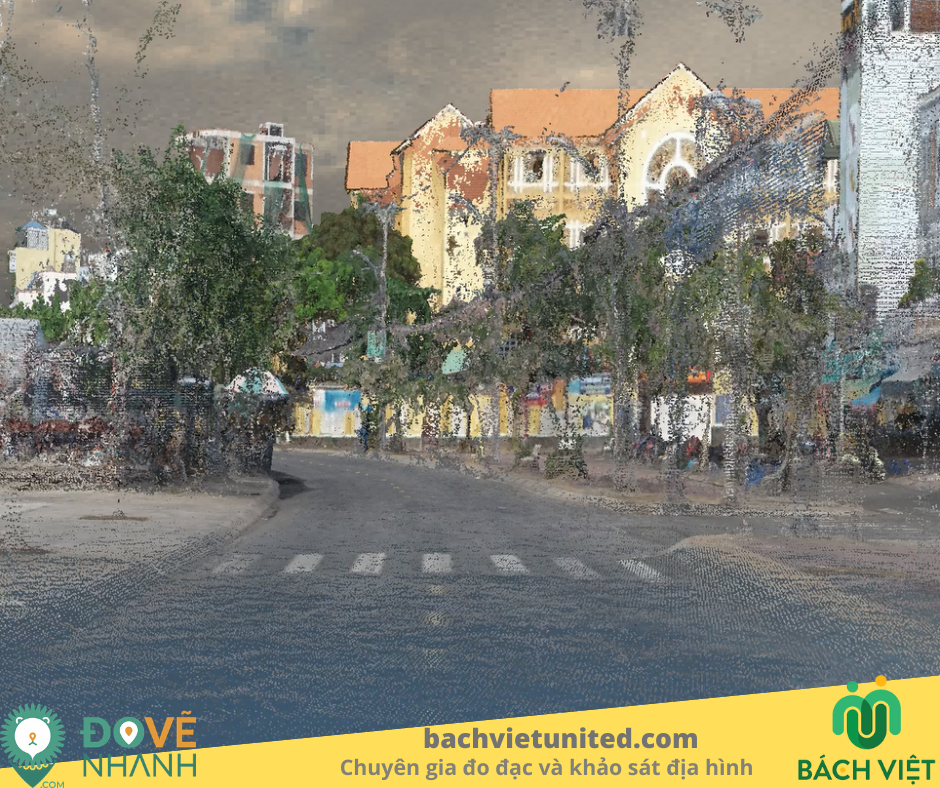
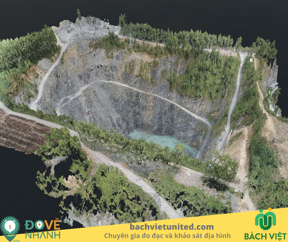
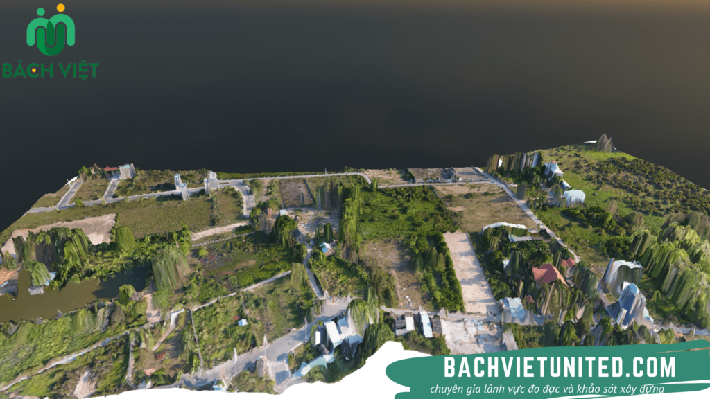
- Modeling 3D of construction site
- Creating orthomosaic map and providing point cloud data
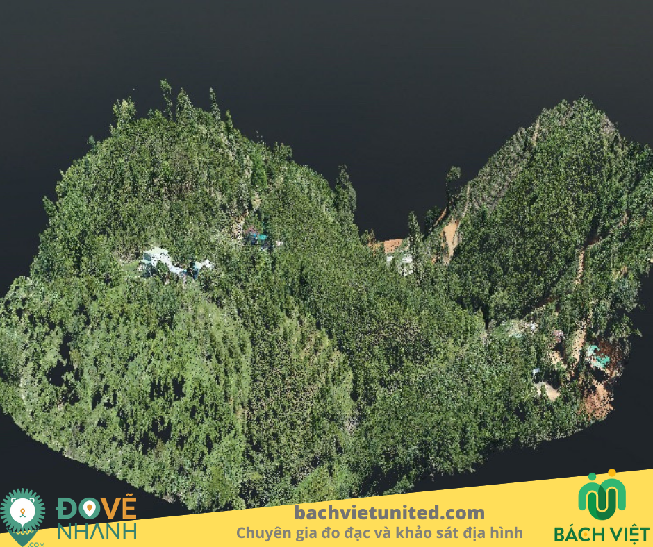
- Survey and evaluate plant growth
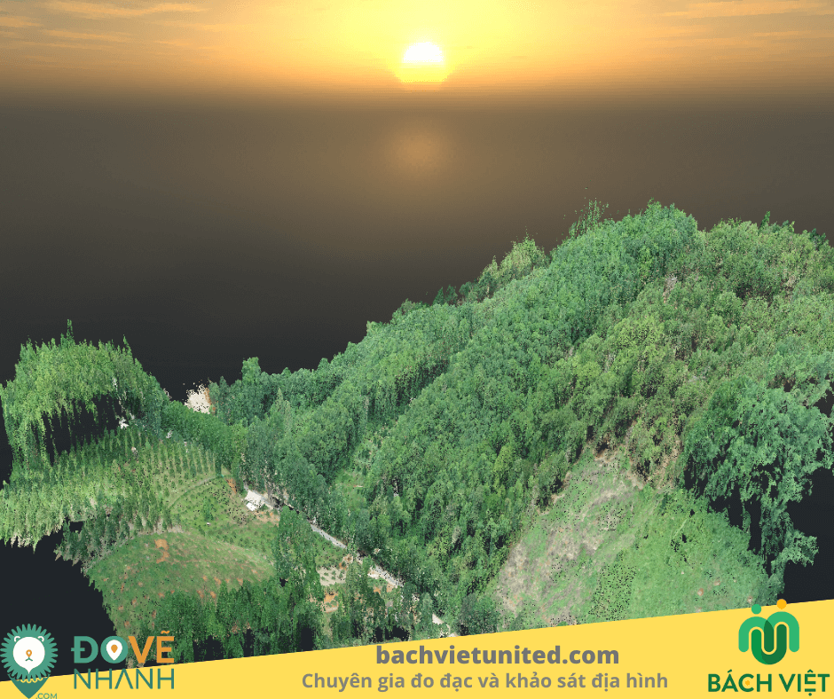
- Assessment of forest biomass
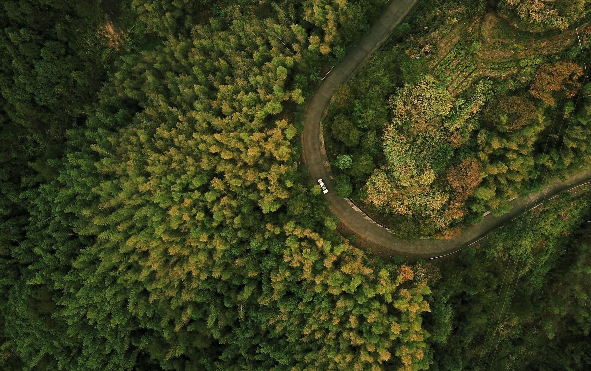
- Survey along the route of the road
- Training and technology transfer of UAV

