Project case study Topographic Survey

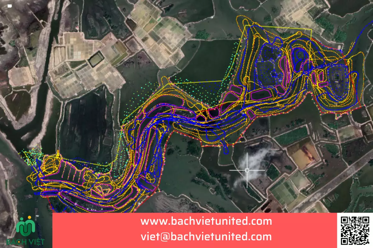
Topographic survey with scale 1/500 for planning in Phu My

Field data, project scope and technical solutions delivered by Bach Viet United.

Hop Nhat Bach Viet Co., Ltd performed topographic survey of 710Ha with scale 1/500 in Phu My town, Ba Ria – Vung Tau province.

Scope: 710 Ha

Scale: 1/500 contour line 0,5m.
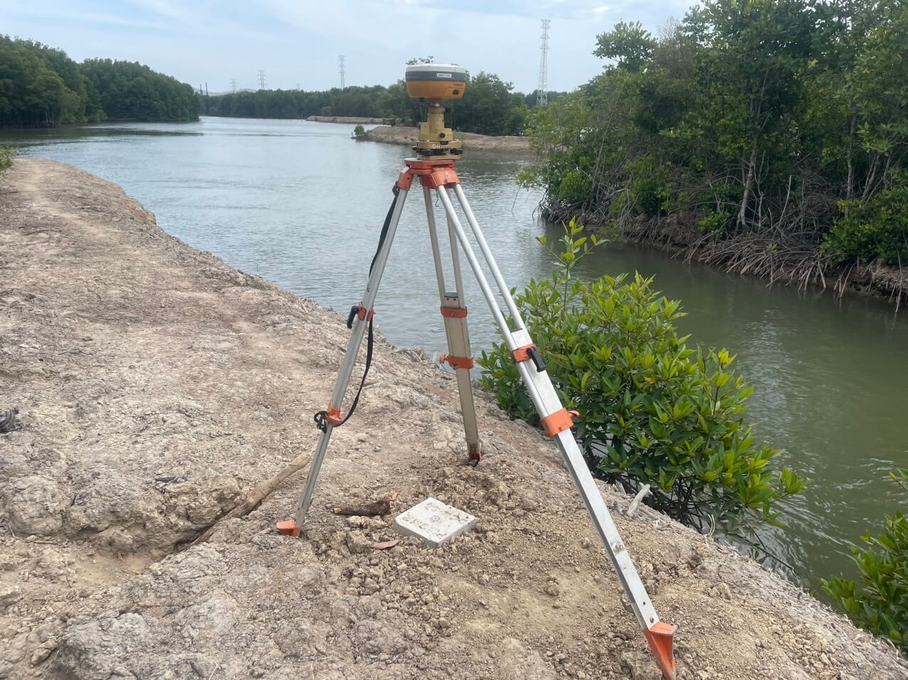
Đo tĩnh GNSS 80 mốc khống chế tọa độ
Static measurement GNSS with 80 coordinate control points

Used equipments:

  1. GNSS Hi Target V30 Plus decive
  2. Auto level Leica NA730 Plus
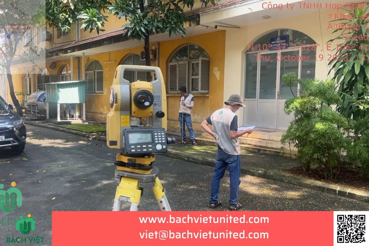
  3. Electronic total station Topcon ES 105
  4. Acoustic depth gauge
  5. Handheld depth gauge

Execution time: 30 working-days

Execution personnel: 12 technical personnel

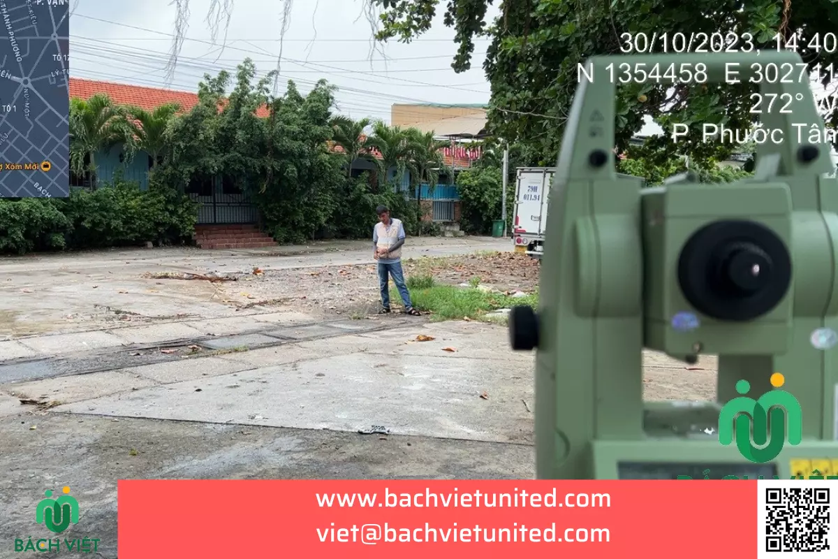
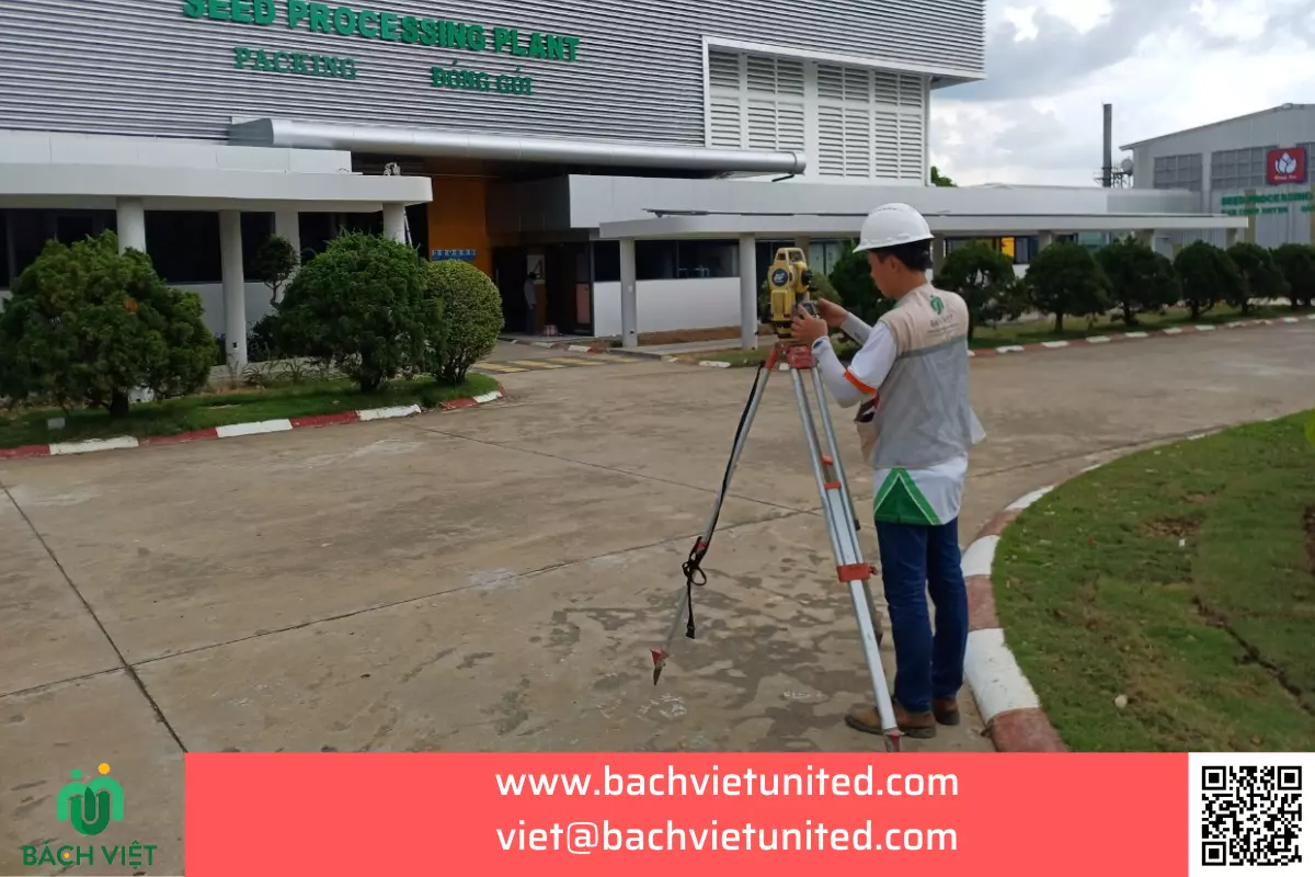
Đo chi tiết địa hình
Detailed measurement

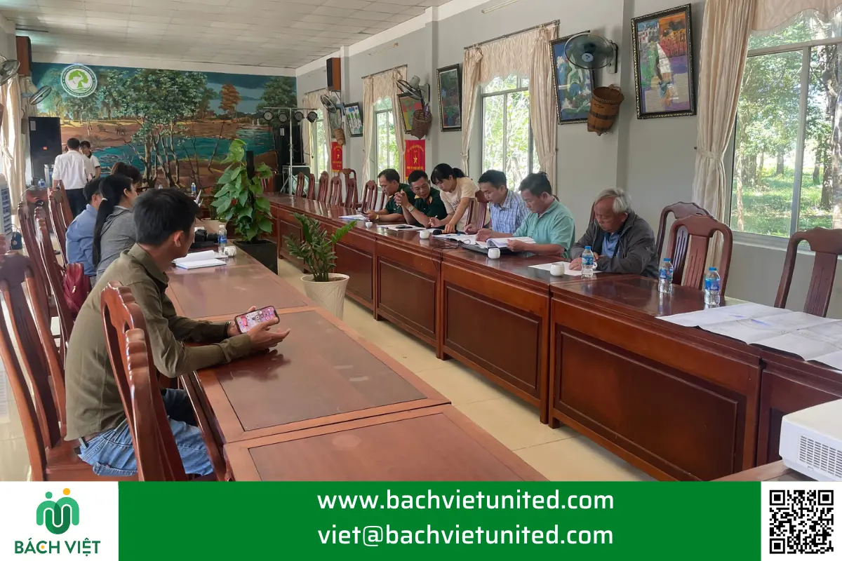
Some pictures of topographic survey with scale 1/500 in Phu My town, Ba Ria Vung Tau province
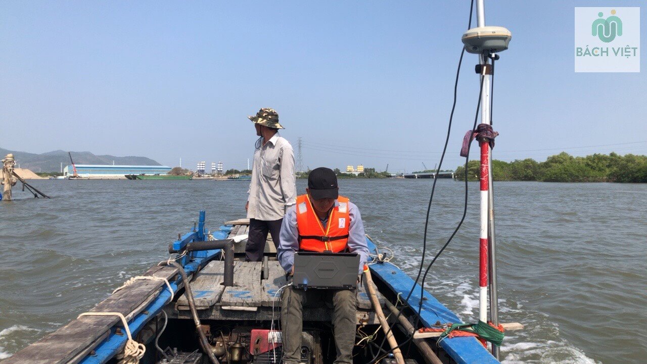
Đo sâu dưới nước
Bathymetry under water
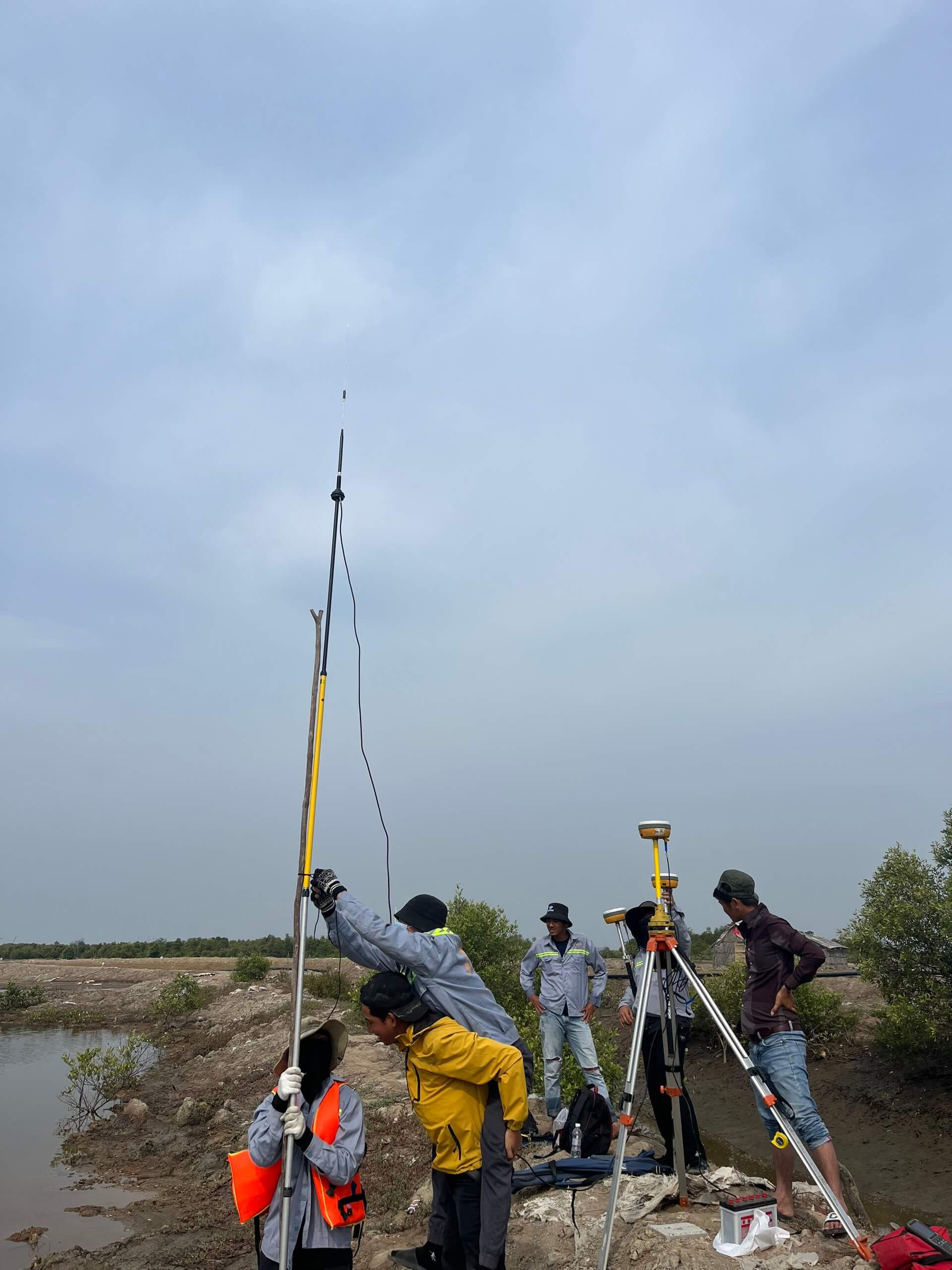
Set up trạm base
Set up base station
Khảo sát địa hình 1/500 phục vụ lập quy hoạch Phú Mỹ
Topographic survey with scale 1/500 for planning in Phu My town

More: KHẢO SÁT ĐỊA HÌNH 1/500 PHONG ĐIỀN – HUẾ