Skip to content
Chào mừng bạn tới website của Bách Việt
Hotline: (028) 35 356 895
Email: viet@bachvietunited.com
Home
ABOUT
SERVICES
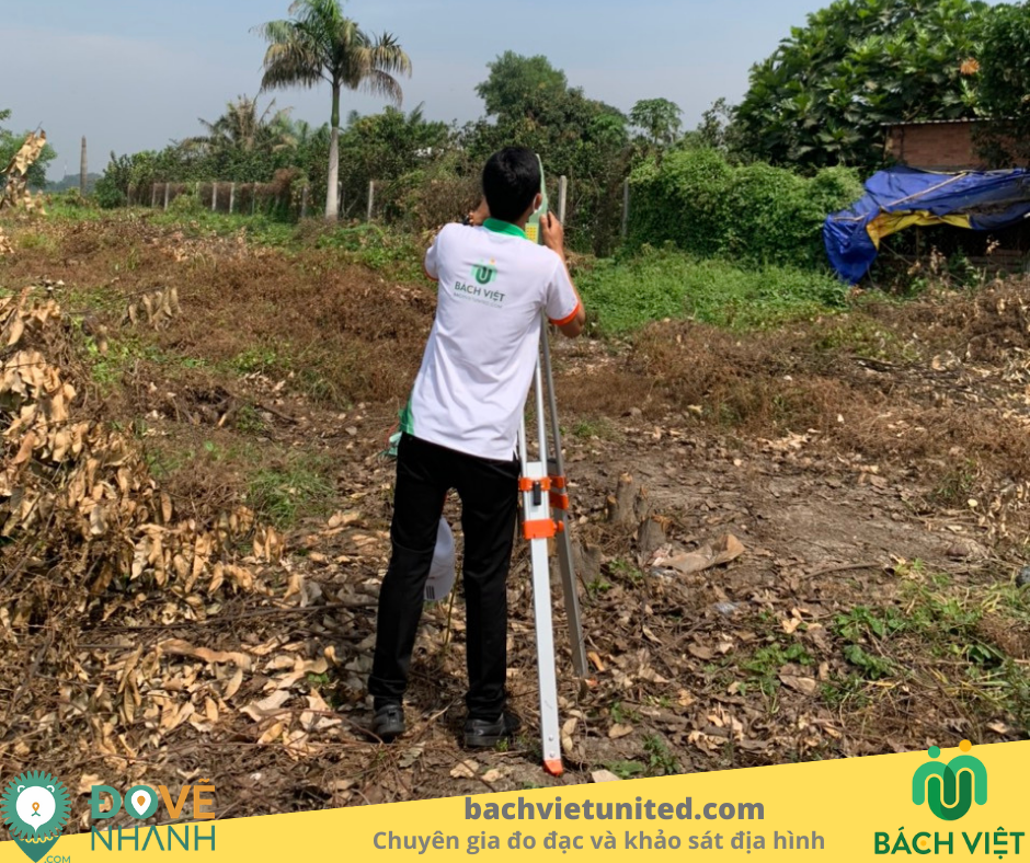
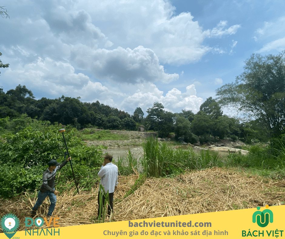
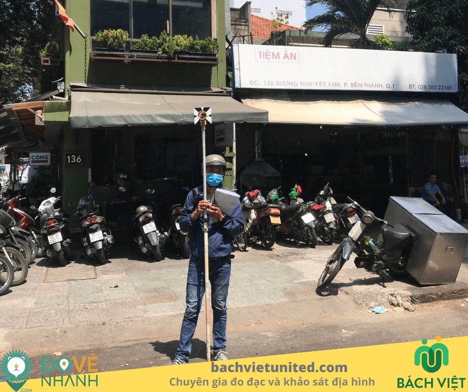
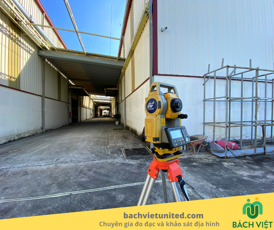
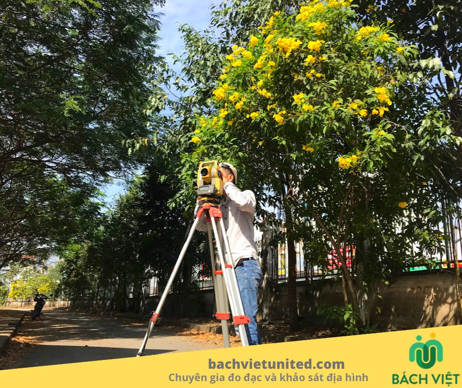
Topographic Survey
Soil Investigation
Cadastral Measurement
Scan 3D laser
UAV services
Point Cloud Viewer Online
PROJECTS
CONTACT
English
Tiếng Việt
LIÊN HỆ
Projects
Home
/
Projects
Projects
Dự Án Thực Hiện Bởi Bách Việt
All
Cadastral Measurement
Topographic Survey
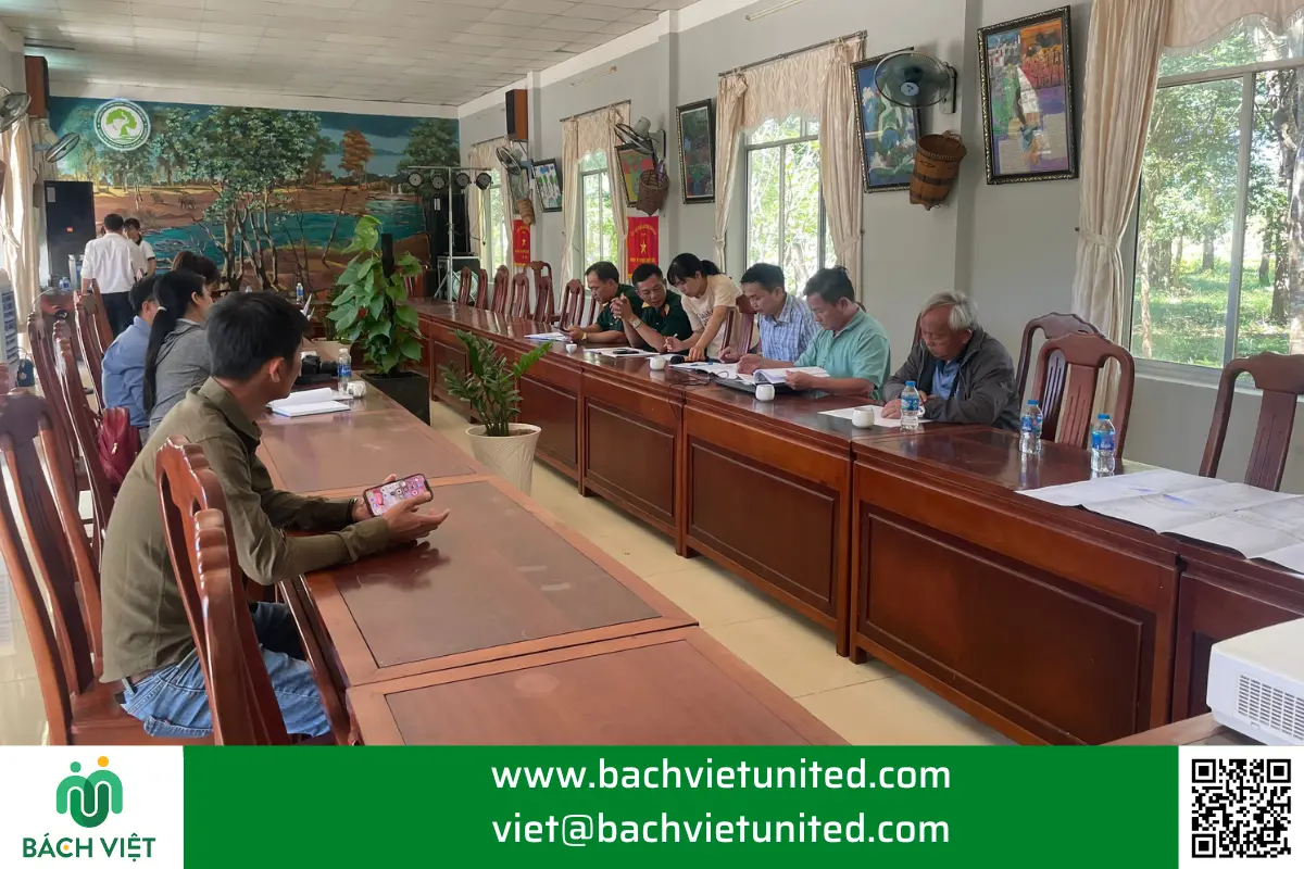
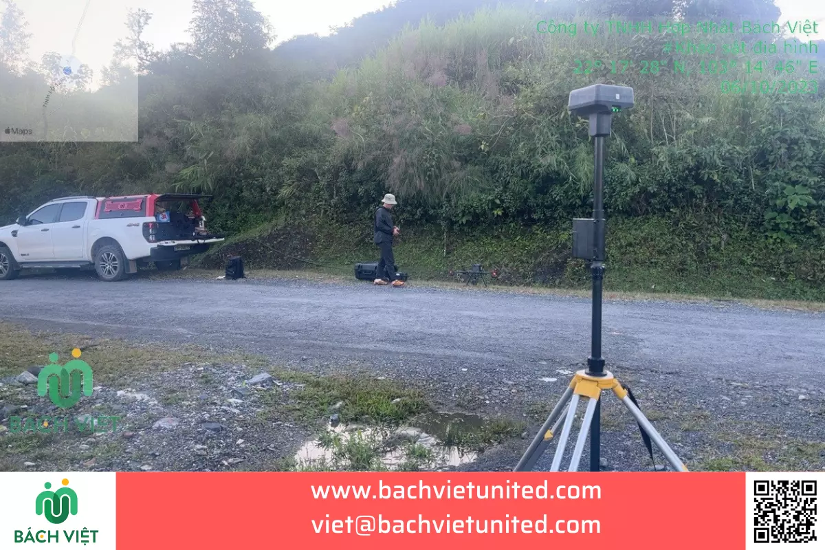
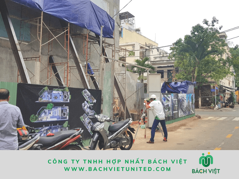
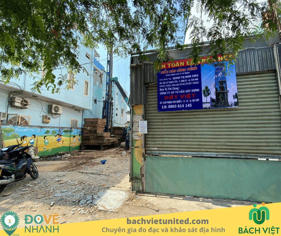
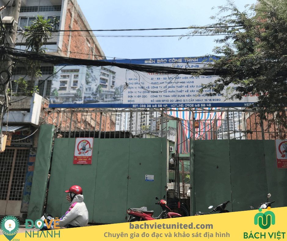
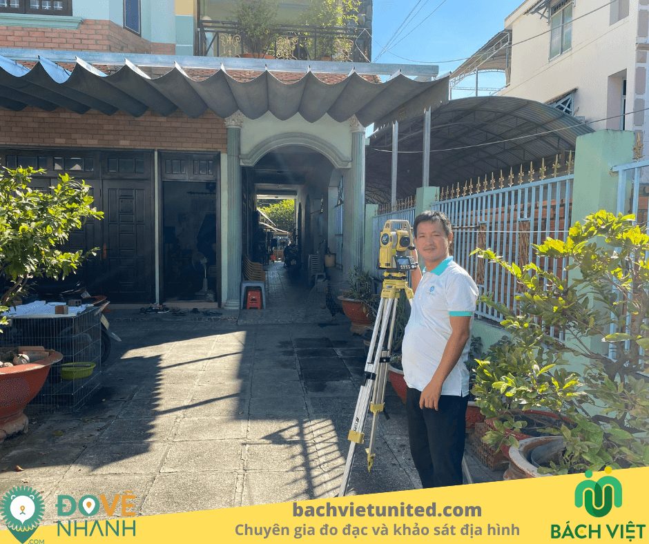
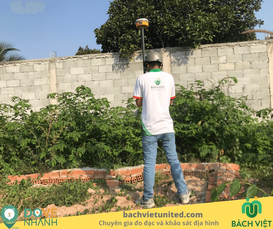
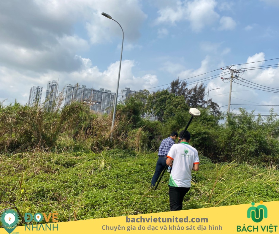
Survey of the Southeastern Region Party Committee Base
Topographic Survey
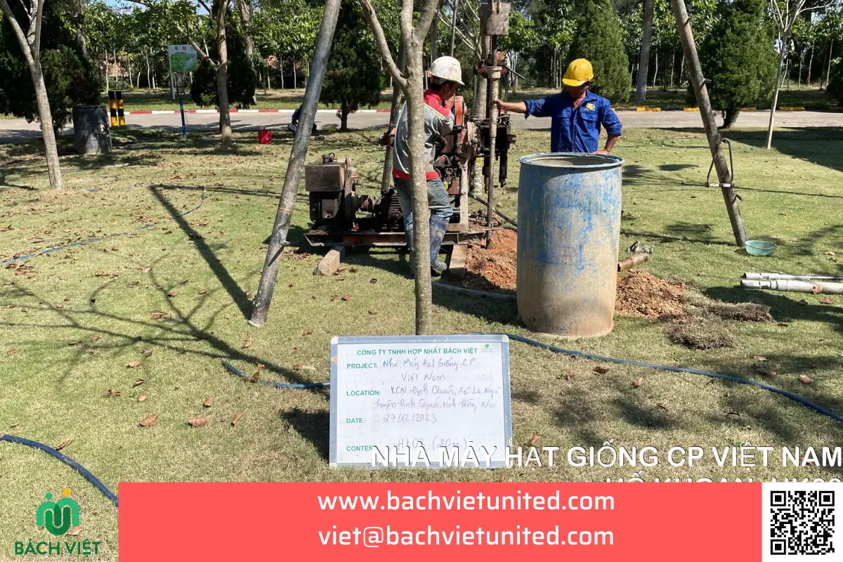
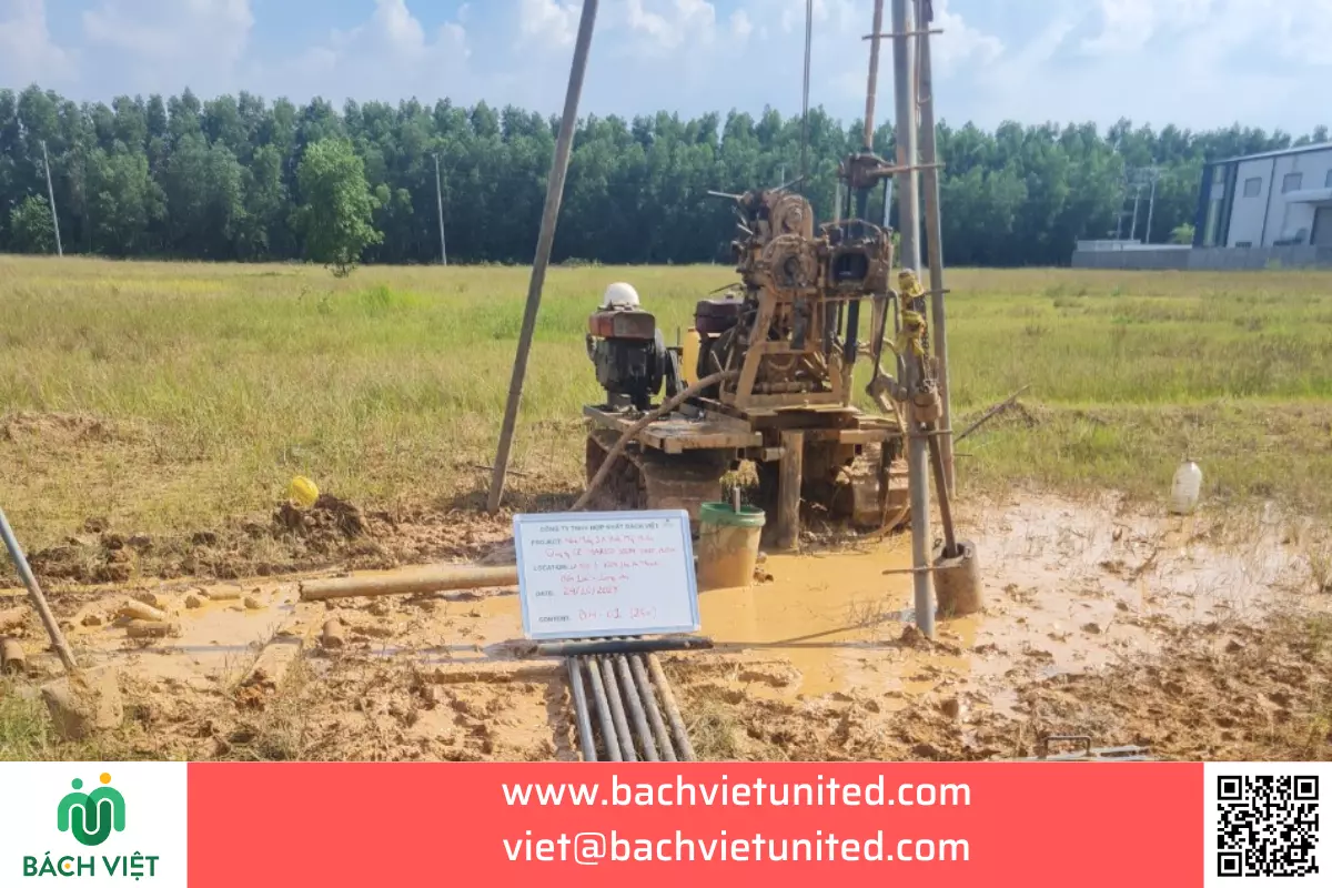
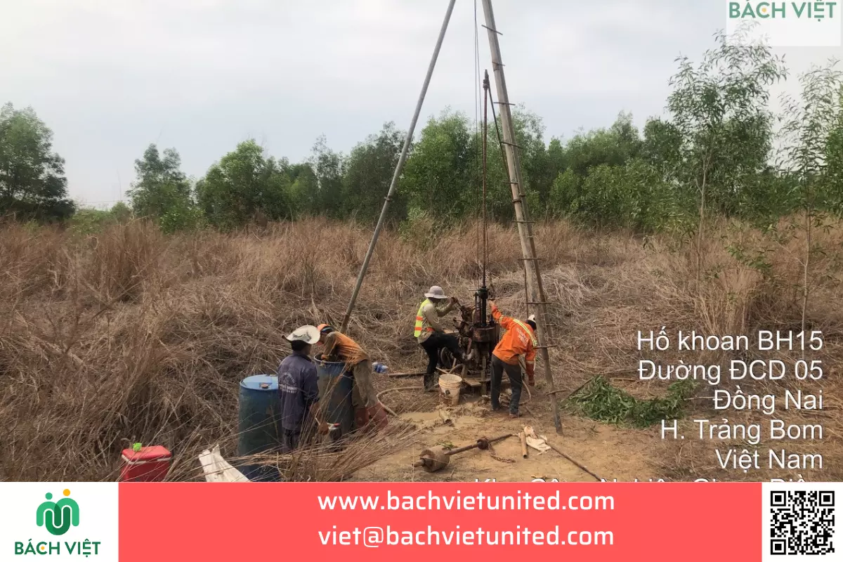
Drilling geological survey at factory CP Seeds in Dong Nai province
Topographic survey 1/500 in Nha Trang city, Khanh Hoa province
Topographic Survey
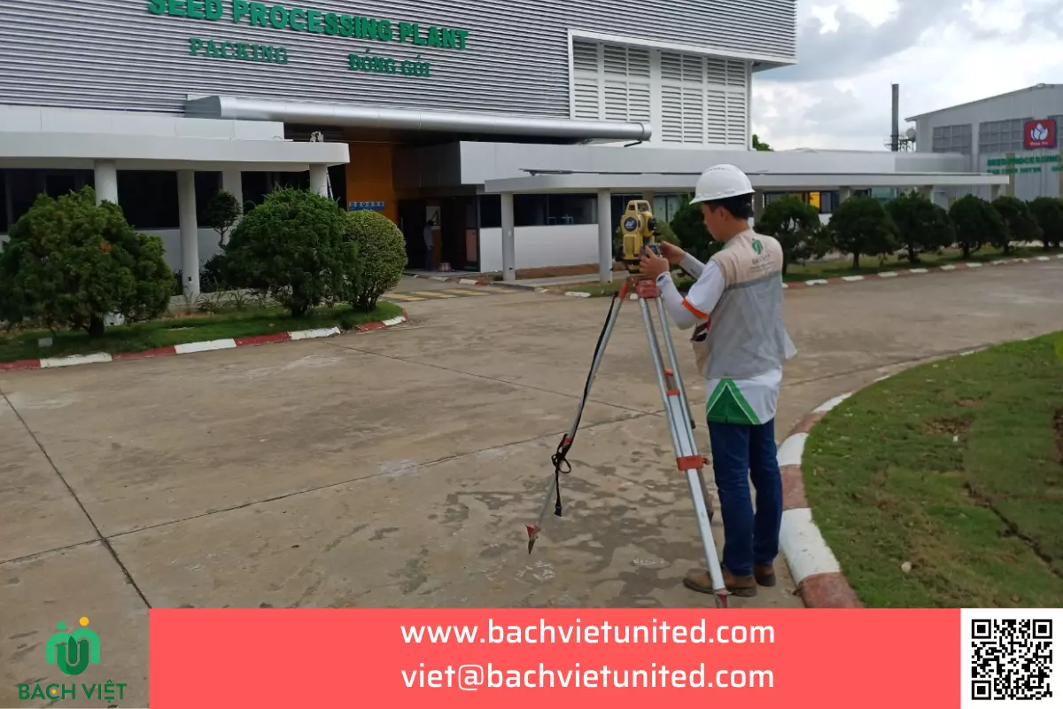
Topographic survey 1/500 at factory CP Seeds in Dinh Quan
Topographic Survey
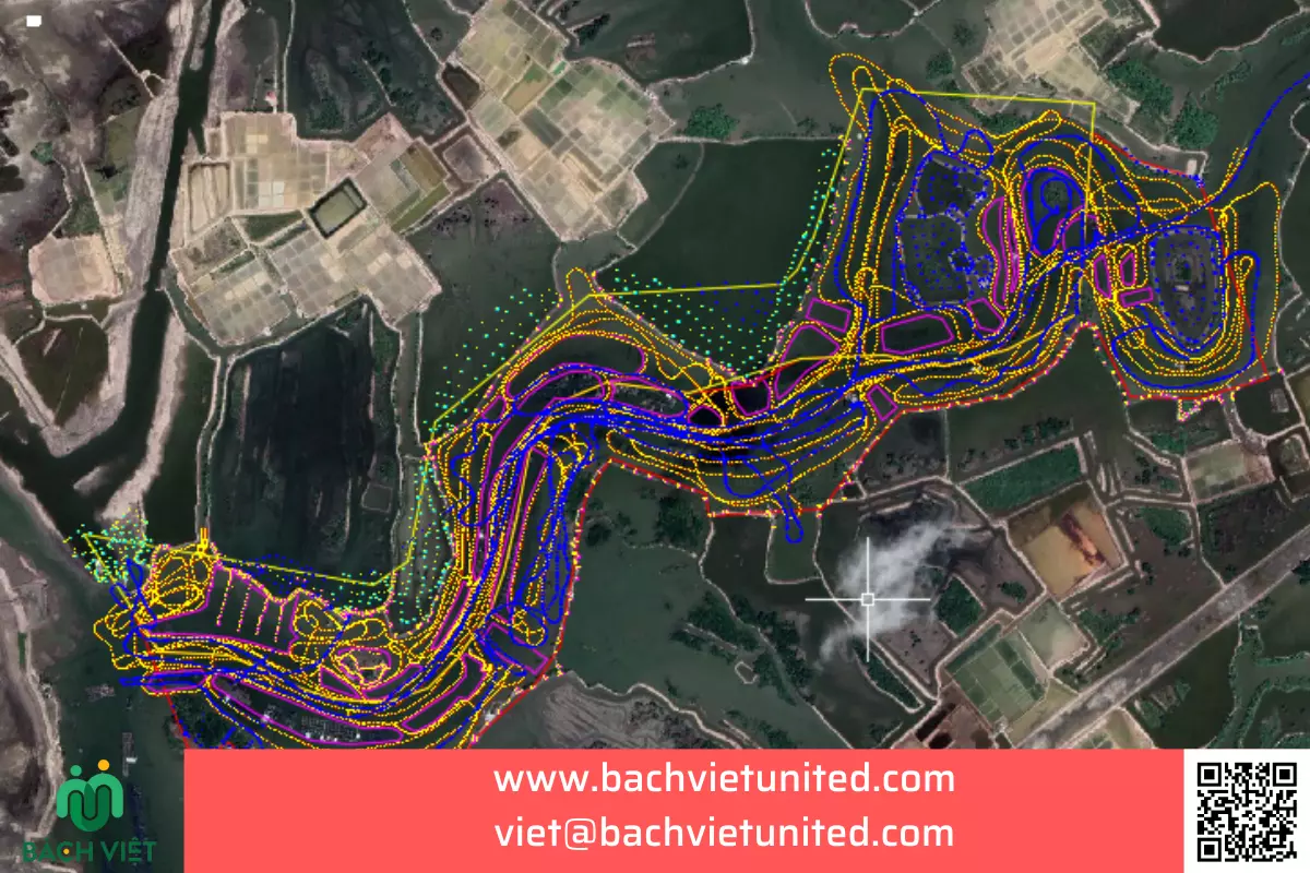
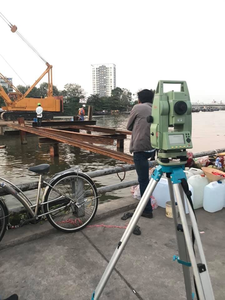
Topographic survey of Nhat river in Phu My #1
Topographic Survey
Topographic survey of Nui Coc lake bottom in Thai Nguyen province
Topographic Survey
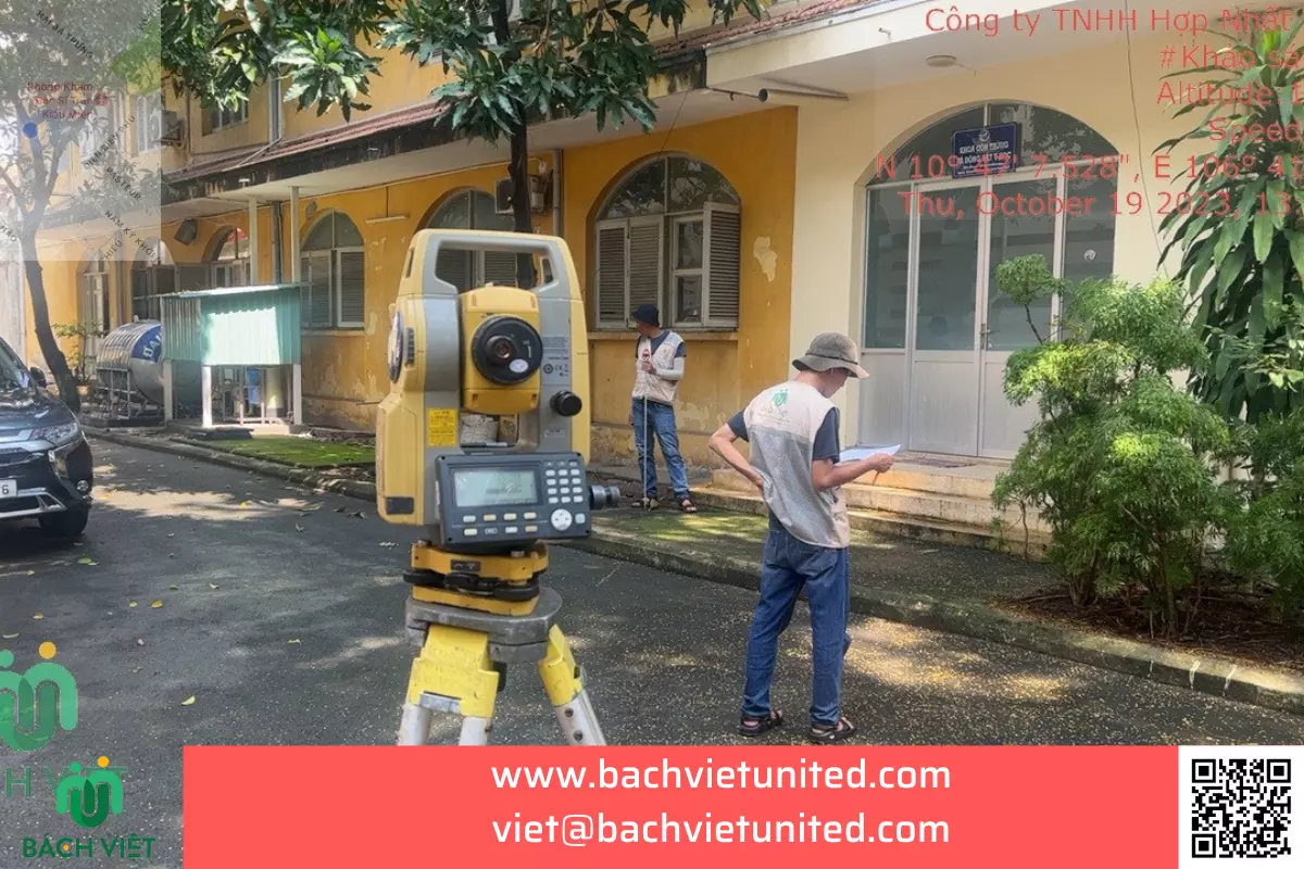
Topographic survey for adjusting planning of HCM Pasteur Institute
Topographic Survey
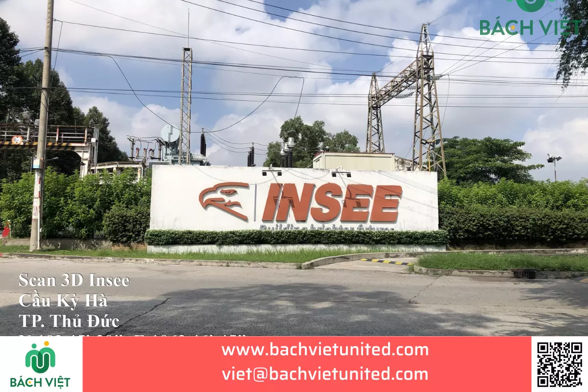
3D laser scanning of Insee cement silo in Vietnam
Topographic survey at FENGQIANG TEXTILE VIETNAM factory in Tay Ninh province
Topographic Survey
Geological Survey at Marico South East Asia factory
Geological survey drilling of project Cainiao Dong Nai
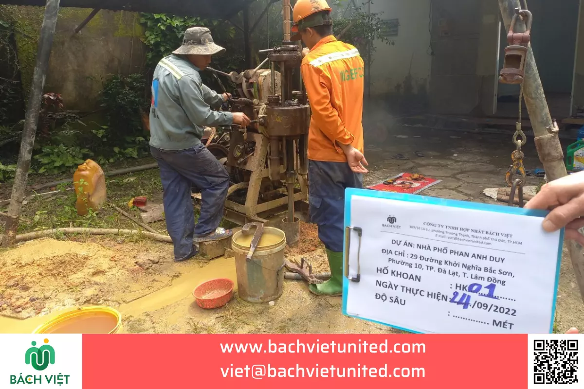
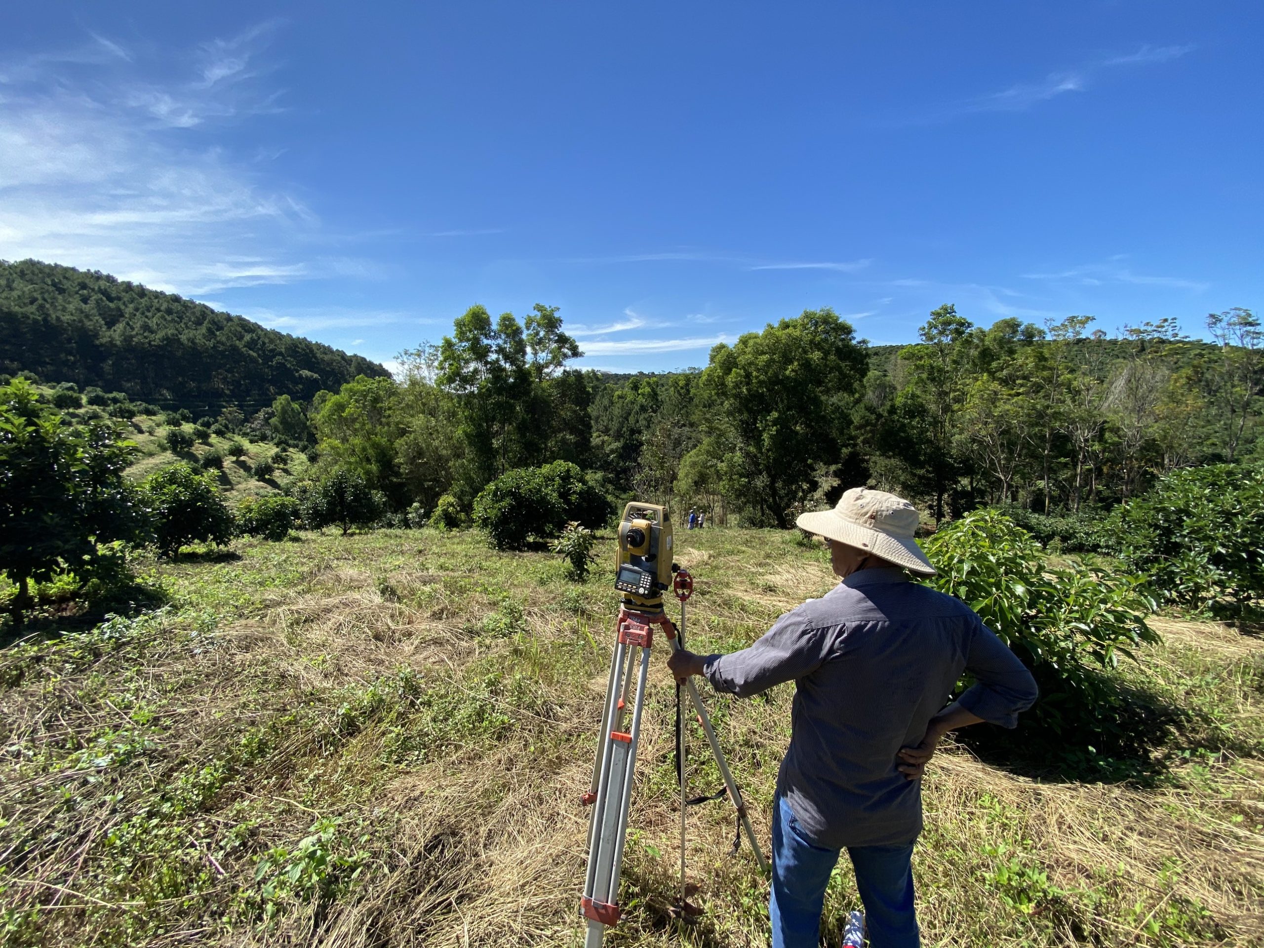
Geological survey in Da Lat City, Lam Dong Province
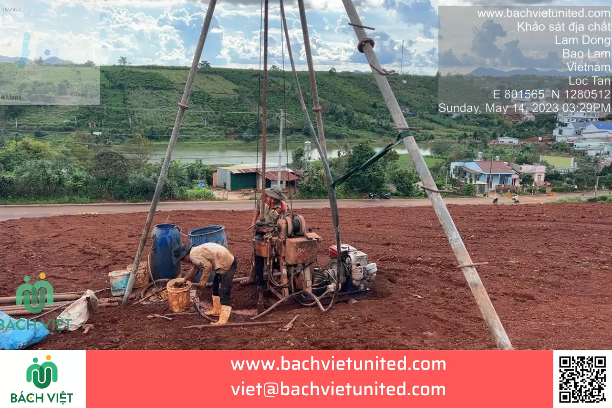
Geological survey of Lakeview project in Bao Loc City, Lam Dong Province
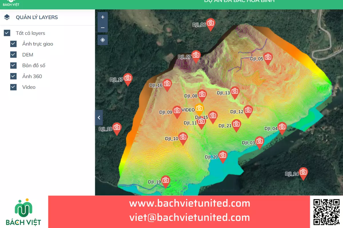
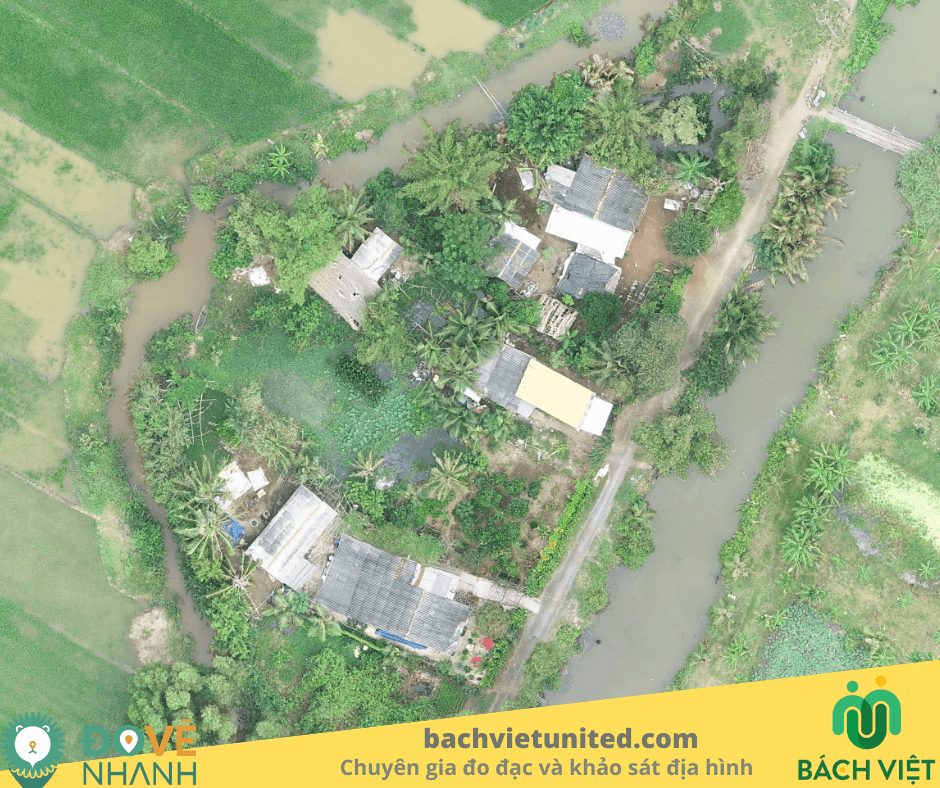
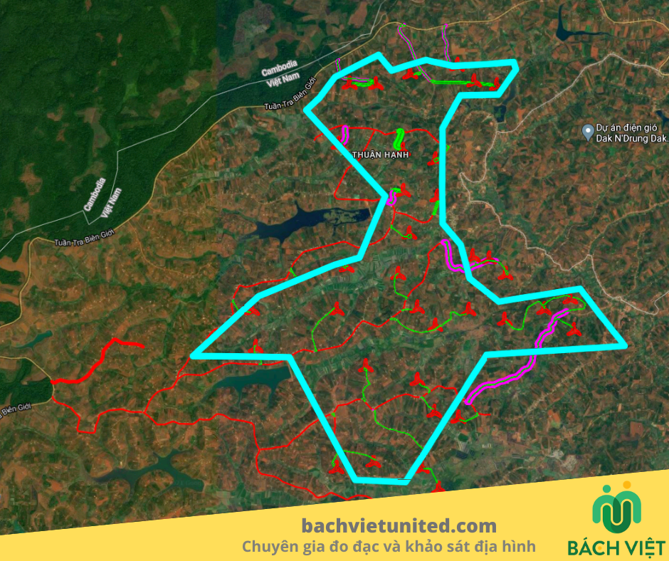
3D topographic survey by UAV Lidar L1 in Hoa Binh Province
Topographic Survey
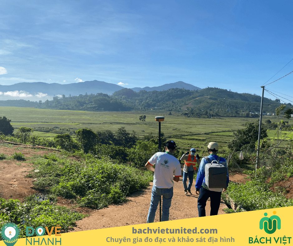
3D topographic survey in Sin Ho District, Lai Chau Province
Topographic Survey
Topographic survey on land and under water in Binh Duong Province
Topographic Survey
Topographic survey 1/500 of Sonion factory in Thu Duc City
Topographic Survey
3D topographic survey in Duc Trong District, Lam Dong Province
Topographic Survey
3D scanning by UAV in Phong Nha, Quang Binh Province
Topographic Survey
Topographic survey of ore mine in Laos
Topographic Survey
Topographic survey by M300 RTK in Lai Chau Province
Topographic Survey
Topographic survey with scale 1/500 in Quy Nhon City, Binh Dinh Province
Topographic Survey
Topographic survey for calculating the volume of leveling in Trang Bang Town, Tay Ninh Province
Topographic Survey
3D laser scan of Mother Nam Hai Bac Lieu statue
Topographic survey with scale 1/500 in Binh Phuoc province
Topographic Survey
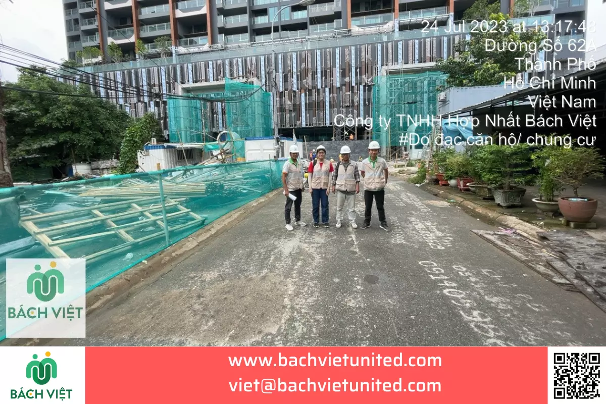
Measuring the current situation of apartment Define Thu Duc
Cadastral Measurement
Measuring the current situation in Hoc Mon District, Ho Chi Minh City
Cadastral Measurement
Topographic survey and flying UAV at Ta Pua, Me Pu Commune, Duc Linh District, Binh Thuan Province
Topographic Survey
Topographic survey with scale 1/2000 by UAV in An Lao District, Binh Dinh Province
Topographic Survey
Topographic survey with scale 1/500 at Ha Lam Commune, Da HUOAI District, Lam Dong Province
Topographic Survey
Measuring the subway system by GPS and GPR of Cong Quynh 1 project
Topographic Survey
Topographic survey with scale 1/500 in Nam Giang District, Quang Nam province
Topographic Survey
Topographic survey and calculation of Tan Uyen quarries’s reserves
Topographic Survey
Measuring the current situation and creating construction drawing of Vietnam Auto Business Development Joint Stock Company
Cadastral Measurement
Flying and calculating the reserves of Ta Zon quarry in Binh Thuan province
Topographic Survey
Surveying the current situation of Cong Cai Lon and Cai Be in Kien Giang province by UAV
Topographic Survey
Surveying and providing orthogonal photo in Lac Dia, Ben Tre province
Topographic Survey
Topographic survey in Di Linh District, Lam Dong province by UAV
Topographic Survey
Topographic survey with scale 1/500 in Dambri Commune, Bao Loc City, Lam Dong province
Topographic Survey
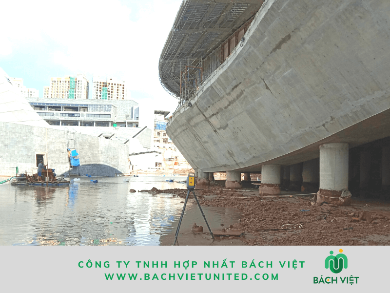
3D laser scanning of Kiss Bridge project in Phu Quoc City
Settlement monitoring of building in Tan Phu district, Ho Chi Minh city #1
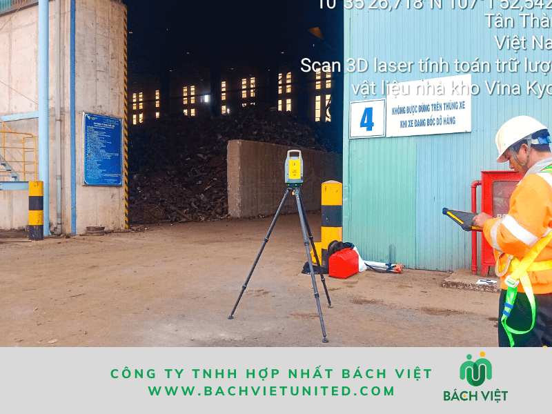
3D laser scan to calculate material reserves of Vina Kyoei steel factory
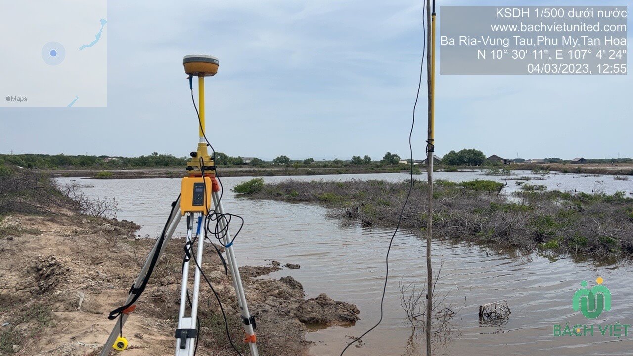
Underwater topographic survey in Vung Tau province
Topographic Survey
Settlement and declination monitoring of An Giang social housing
Topographic survey with scale 1/500 in Phong Dien district- Hue province
Topographic Survey
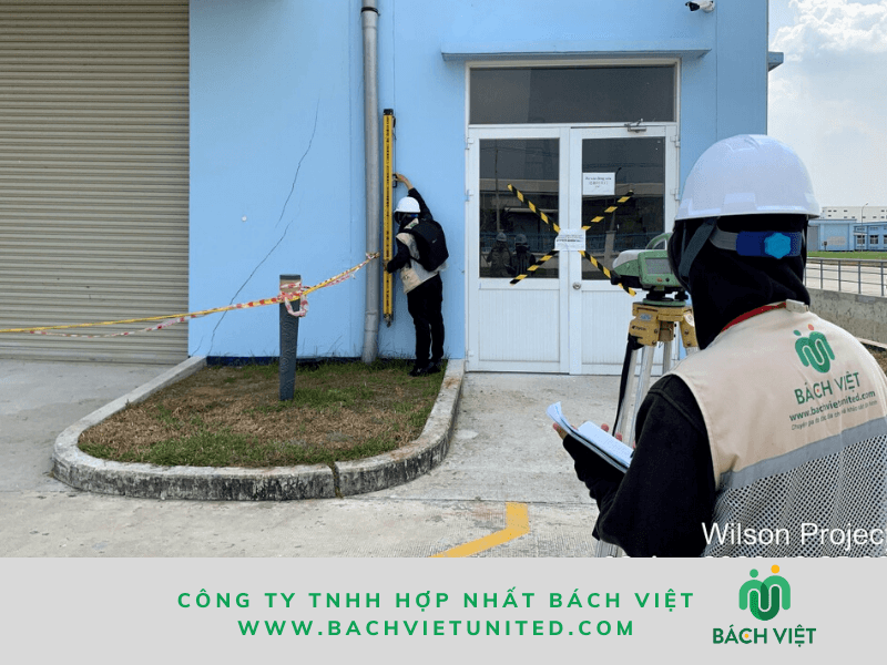
Settlement monitoring of Wilson Tay Ninh factory
Settlement monitoring of construction at No. 352 -356 Vo Van Tan street, District 3
Topographic survey of Nhat riverbed in Phu My town, Ba Ria Vung Tau province
Surveying by UAV to count trees in Hoa Binh forest by AI application technology
Topographic Survey
Measurement and completion of 186 villas in Camellia Garden
Cadastral Measurement
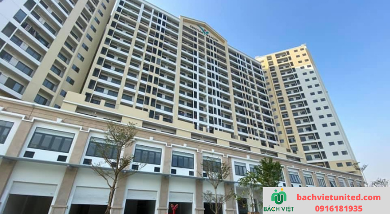
Measurement of apartment building Swanbay Zone 6 in Dong Nai province
Topographic Survey
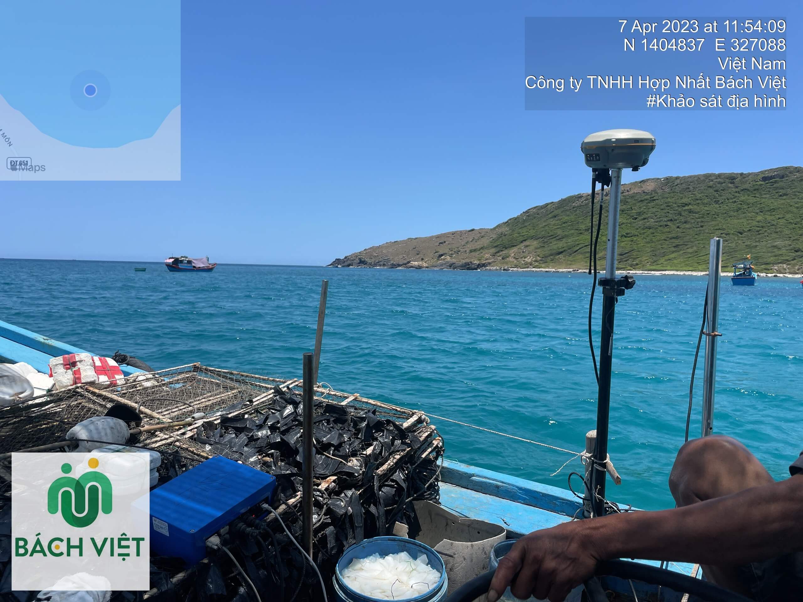
Topographic survey of the subsea Van Phong, Khanh Hoa
Topographic Survey
Topographic survey with scale 1/500 for planning in Phu My
Topographic Survey
Topographic survey with scale 1/500 in Bao Loc district, Lam Dong province
Topographic Survey
Topographic survey with scale 1/500 in Dinh Quan district, Dong Nai province
Topographic Survey
Topographic survey with scale 1/500 in Chau Duc district, Ba Ria – Vung Tau province
Topographic Survey
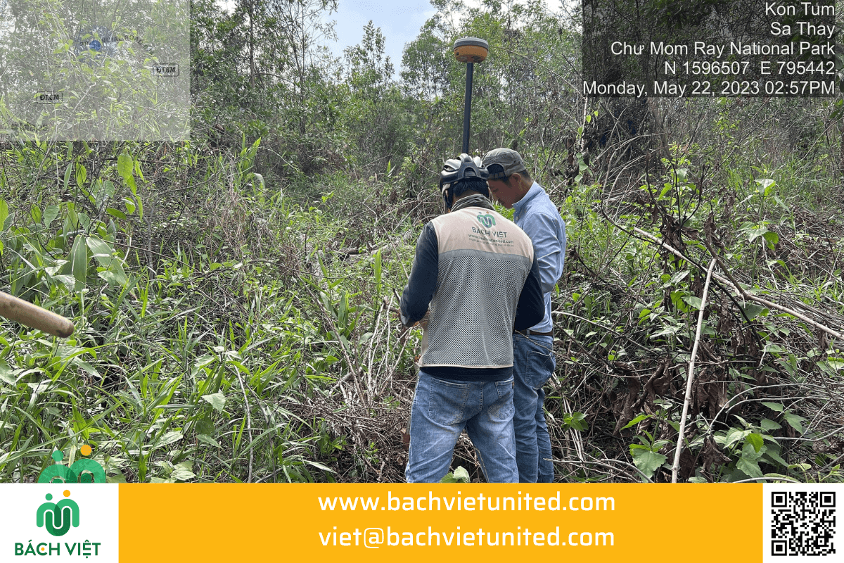
Topographic survey in Chu Mom Ray forest in Sa Thay district, Kon Tum province
Topographic Survey
Topographic survey with scale 1/500 in Xuyen Moc district, Ba Ria Vung Tau province
Topographic Survey
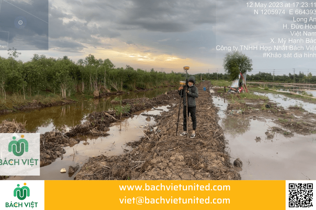
Topographic survey for leveling in Long An province
Topographic Survey
Topographic survey to calculate leveling volume in Hi-tech Park
Topographic Survey
Topographic survey at Bokoh moutain in Cambodia
Topographic Survey
Training and transferring UAV technology to Van Phong Power Company
Topographic Survey
Topographic survey with scale 1/500 in Duc Trong district, Lam Dong province
Topographic Survey
Topographic survey with scale 1/2000 at Thac Ba lake in Yen Bai province
Topographic Survey
Measuring the current status for land clearance works in Long Khanh, Dong Nai
Cadastral Measurement
UAV topographic survey in Duc Hoa Long An #1
Topographic Survey
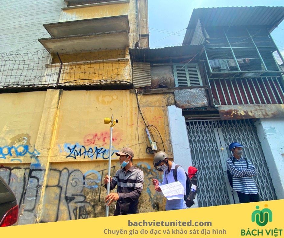
Measurement of landmarks controlling coordinates and marking project boundaries in District 8
Cadastral Measurement
Deformation monitoring of construction works in Tan Phu district
Topographic Survey
Deformation monitoring of construction works in District 11
Topographic Survey
Measure and restore the encroached boundary in District 2
Cadastral Measurement
Measuring the current status of the location in Binh Duong province
Cadastral Measurement
Measure the current status of the land boundary of CARIC Company in District 7
Cadastral Measurement
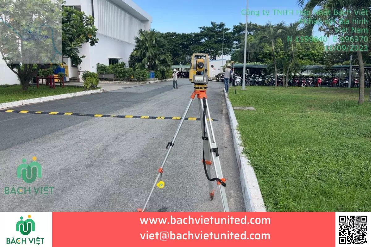
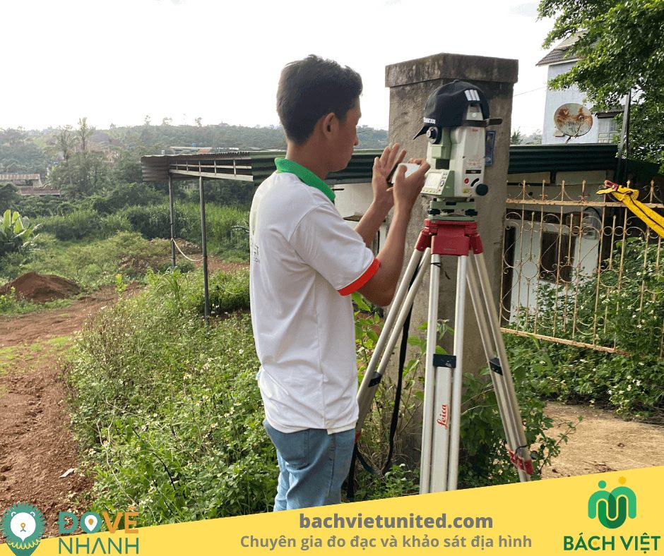
Surveying the topography by PPK to establish the topographic map of 1/1000 in District 7
Topographic Survey
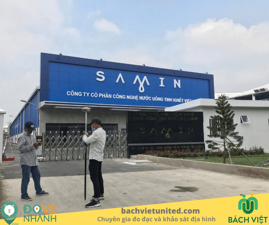
As – built measurement of SAMIN water factory in district 7
Cadastral Measurement
Measuring and locating the project land boundary in district 9 of SACOMREAL
Cadastral Measurement
Topographic Survey and Flight 3d Captured by Drone In Bao Loc Lam Dong
Topographic Survey
Surveying underground drainage works of Tan Phu Minh Long An factory
Topographic Survey
Surveying the transport route of wind power equipment Dak Song – Dak Nong
Topographic Survey
Survey and survey the current status of the Central College of Education and Kindergarten in Ho Chi Minh City
Cadastral Measurement
Surveying and surveying underground works of Saigon Electricity project
Topographic Survey
Measuring and drawing apartment block H – Thu Duc House Đức
Cadastral Measurement
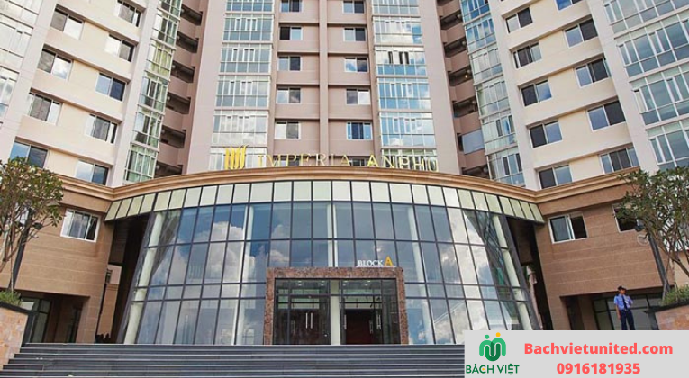
Measure apartment project Emperia An Phu District 2
Cadastral Measurement
Measuring the current status of 5 shipyards in District 2, Thu Duc and Binh Thanh
Cadastral Measurement
Measuring apartments for pink book issuance in District 9
Cadastral Measurement
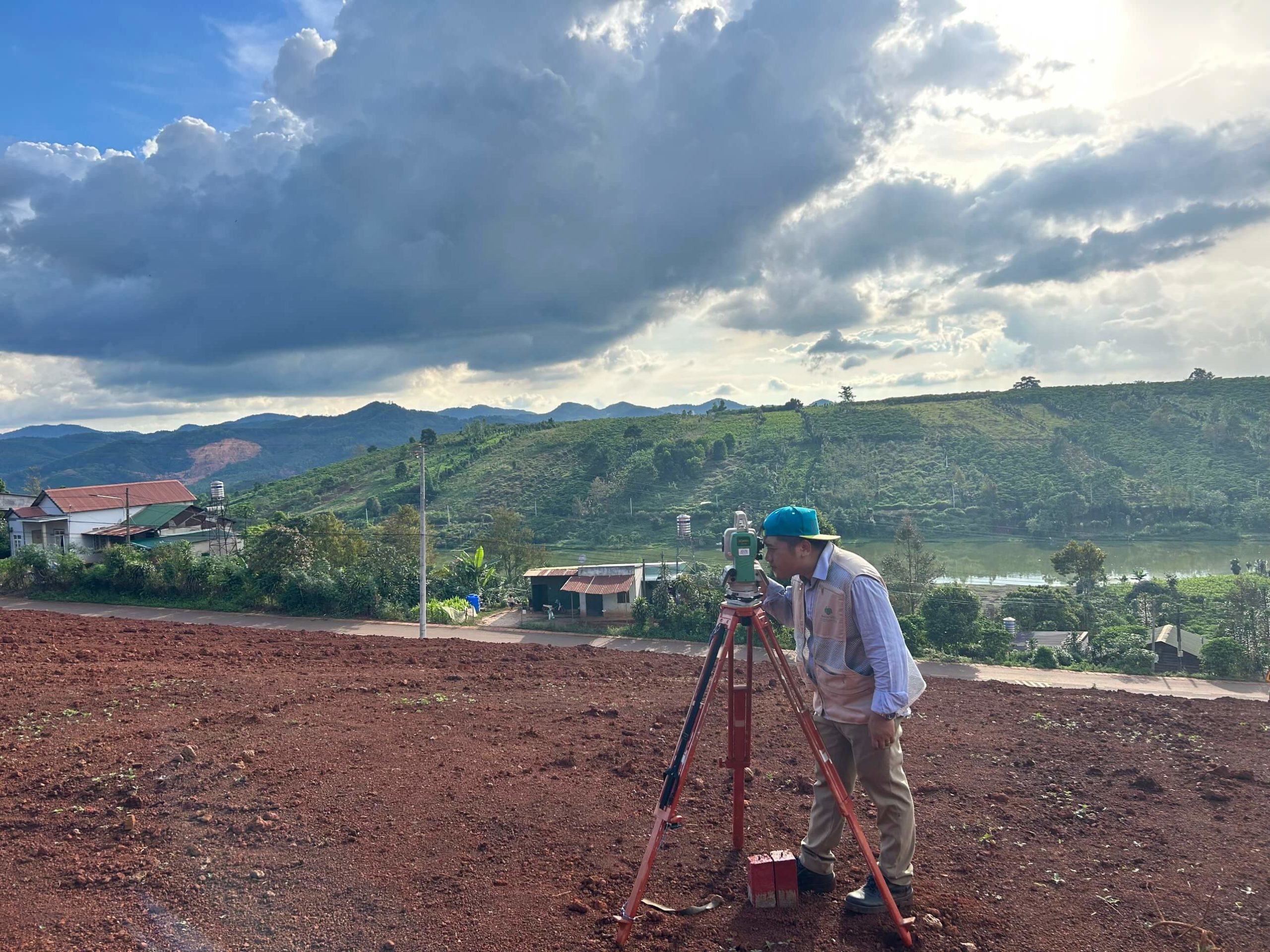
Topographic surveying the Phuong Minh Farm project
Topographic Survey
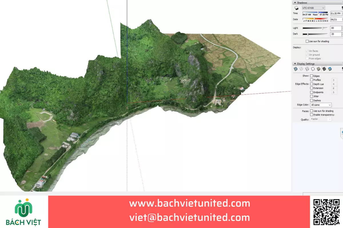
TOPOGRAPHIC SURVEY BY USING UAV AND ESTABLISHMENT OF CURRENT 3D MODEL
Topographic Survey
Home
ABOUT
SERVICES
Topographic Survey
Soil Investigation
Cadastral Measurement
Scan 3D laser
UAV services
Point Cloud Viewer Online
PROJECTS
CONTACT
English
Tiếng Việt
LIÊN HỆ