Topographic survey of ore mine in Laos
At large-scale ore mines, to optimize costs as well as mining plans, it is necessary to have a topographic map to design mining routes and arrange drill holes for exploration… Therefore, topographic survey of ore mine is very necessary. Hop Nhat Bach Viet Co., Ltd performed Topographic survey of ore mine in Central Laos. Let’s find out following post.
Contact for topographic survey by UAV in Laos 0903692185
Purpose of topographic survey of ore mine in Laos
Topographic survey provided large scale topographic maps for the following purposes:
- Providing topographic plan for planning and designing mining construction plan: mining area, transportation, factory area…
- Providing a topographic plan to design a reserve exploration route
- Calculating mining reserves.
- …
Method of topographic survey of ore mine in Laos
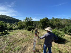
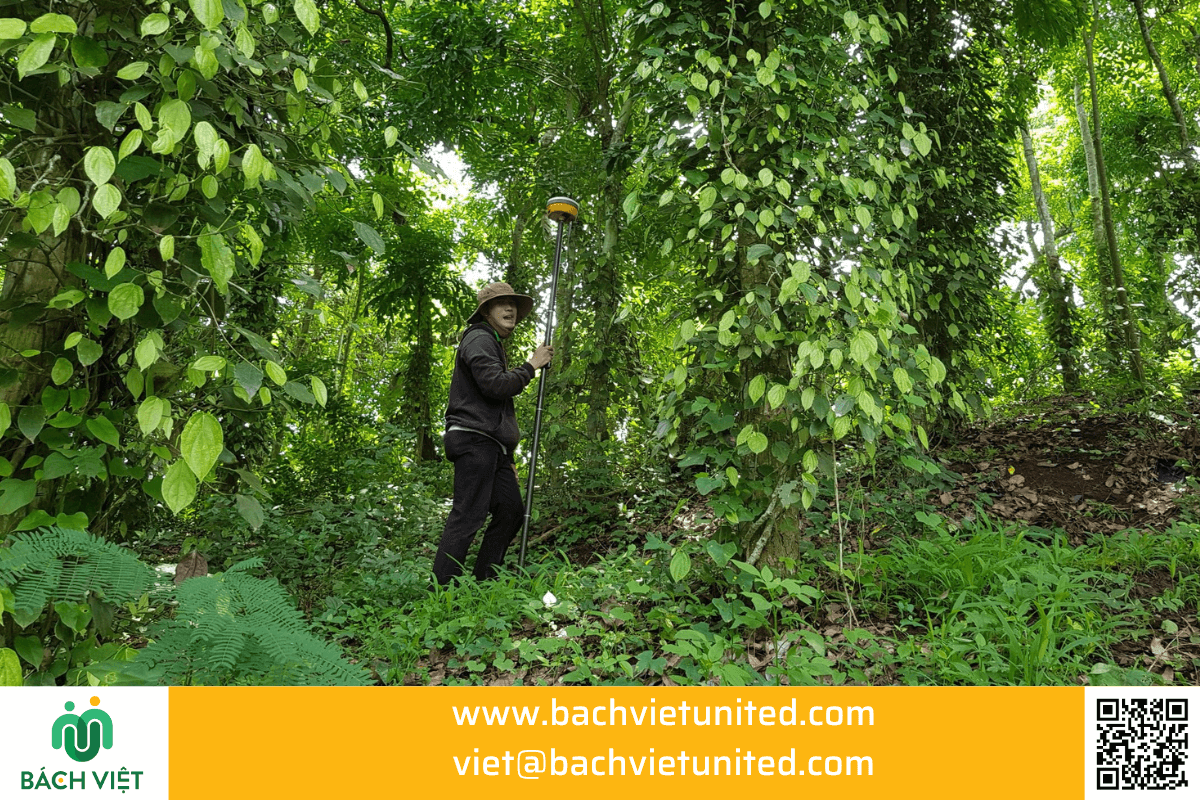
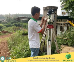
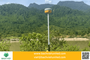
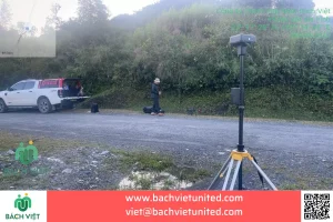
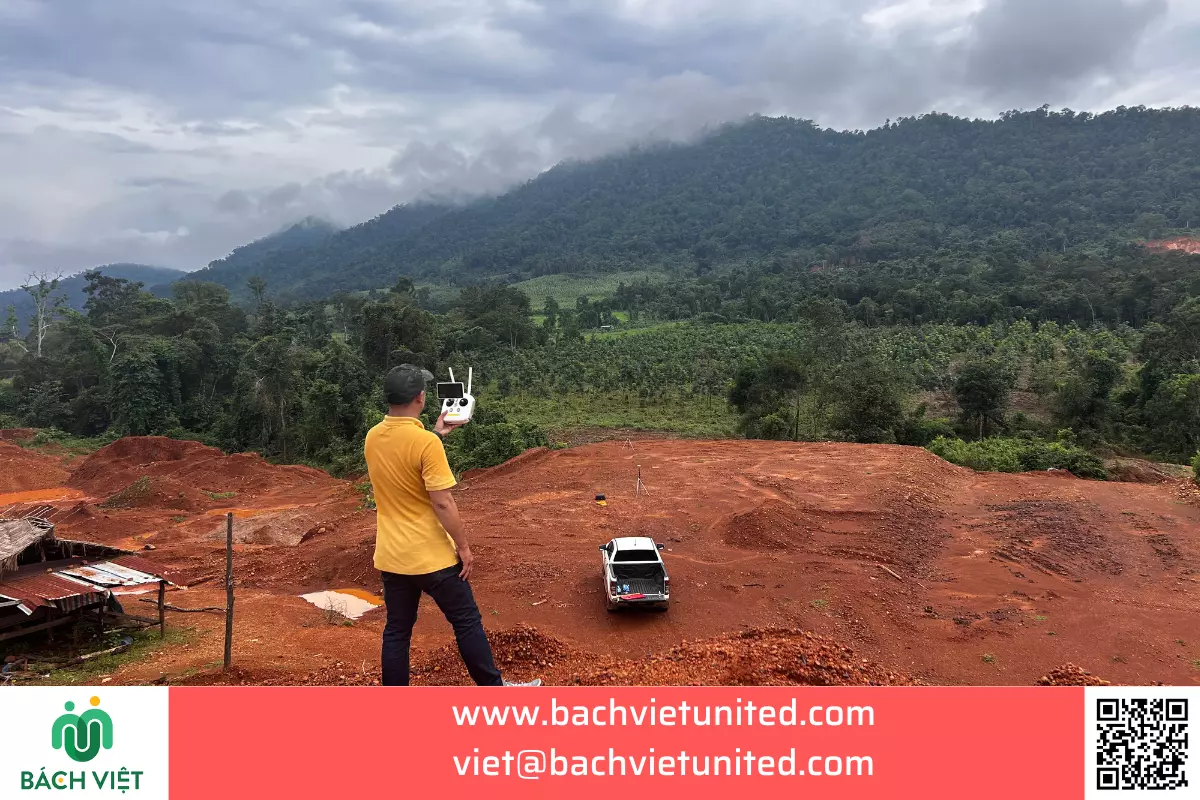
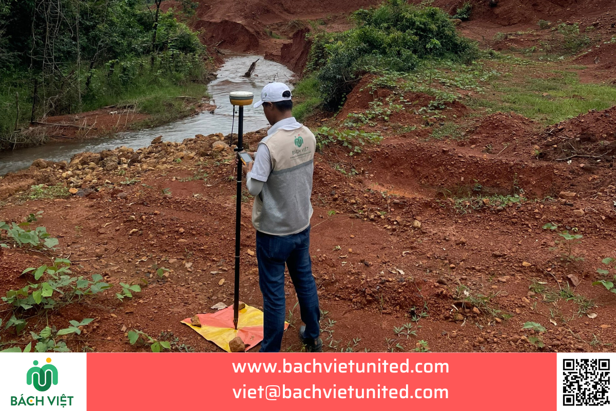
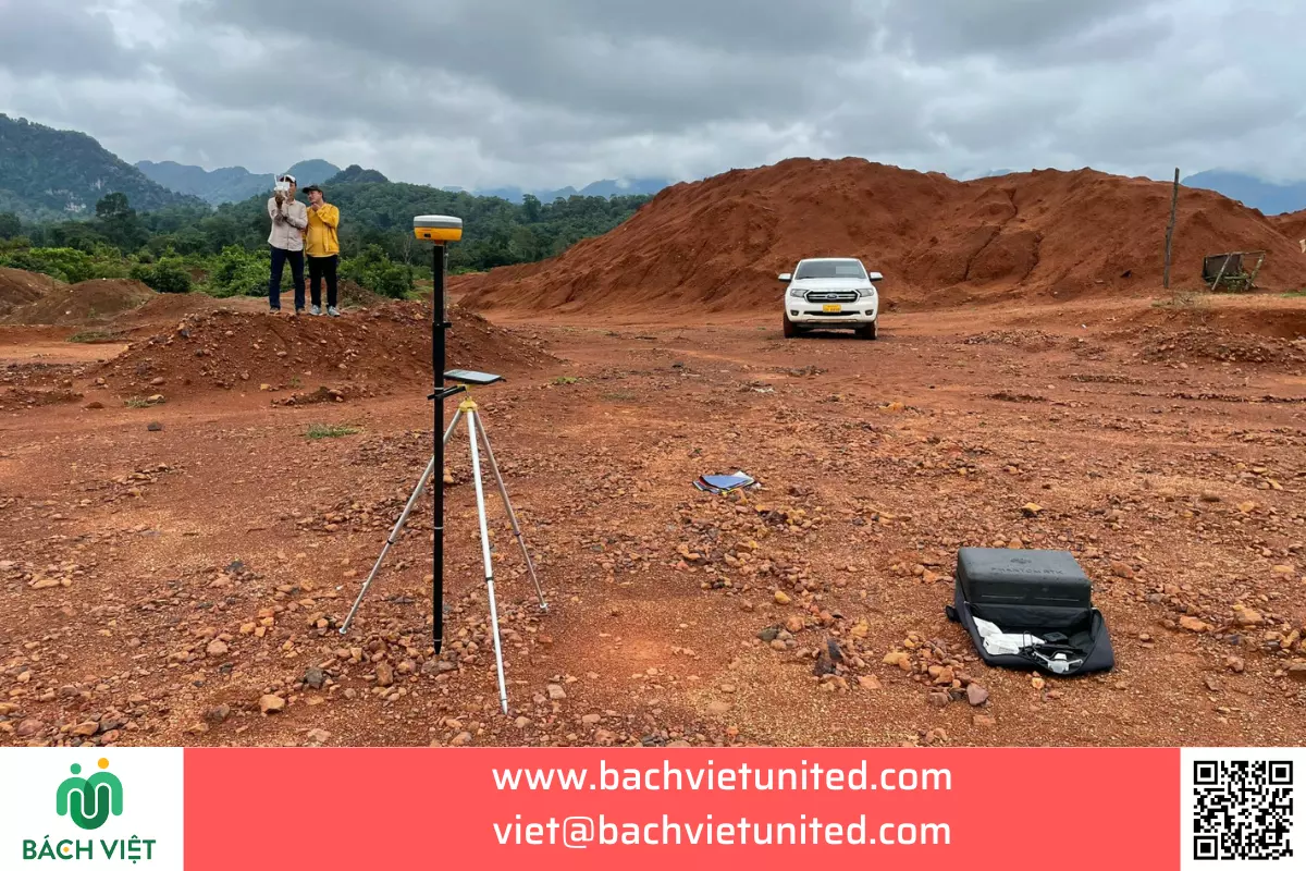
The topography of the survey area is quite difficult, there is no 3G signal in this area. Therefore, the contractor used the topographic survey method using UAV combined with DGPS. The contractor uses GNSS static receivers and set coordinate control landmark. After adjusting, the coordinates of the control point in the topographic survey area can be calculated.
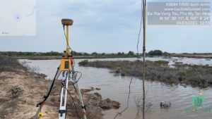
Use a base station to transmit to rovers to measure in detail.
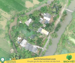
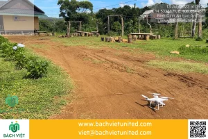
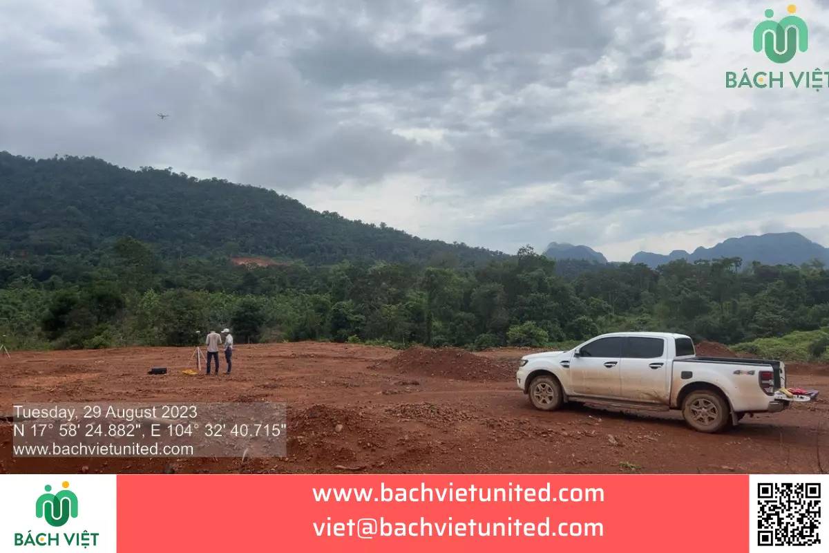
Besides, using UAV phantom 4 RTK device to do 3D topographic survey of the mine in Laos. To improve the accuracy of topographic survey results by UAVs in Laos, the contractor used GCP points placed 300-500m apart throughout the project.
Topographic survey results of ore mine in Laos
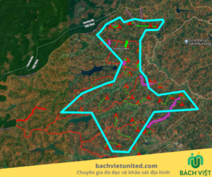
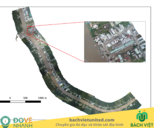
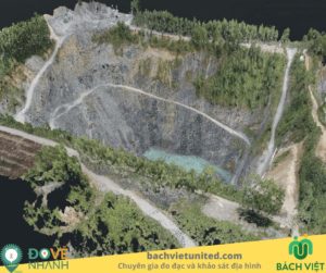
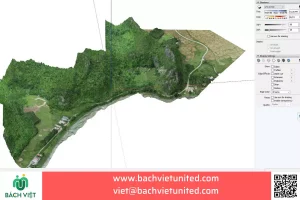
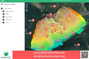
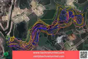
Results of topographic survey include topographic plan 1/2000, clear orthogonal image, 3D mesh model of survey area.
Calculating excavation volume according to design depth.
Topographic survey of ore mines in Laos: 200Ha.
Location: Central Laos.
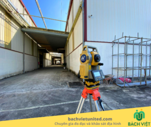
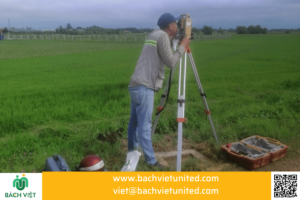
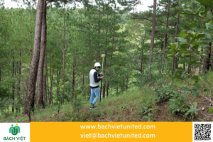
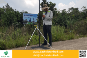
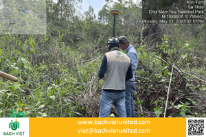
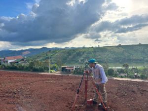
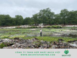
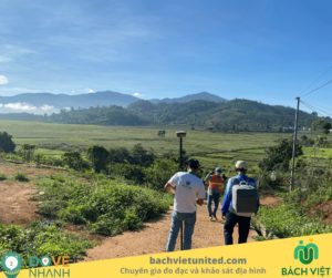
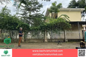
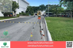
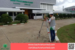
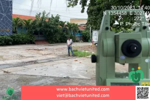
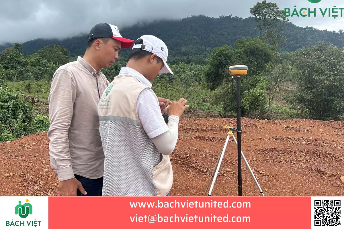
Some pictures of topographic survey of ore mines in Laos
Some pictures of topographic survey in Laos.
Read more: dịch vụ khảo sát địa hình UAV

Besides mine topographic survey services, Bach Viet also provides the following services in Laos:
- Topographic survey 1/500 in Laos.
- 3D topographic survey by UAV in Laos.
- 3D laser scanning by Trimble X7 for historical monuments and factories in Laos.
Contact information for topographic survey contractors in Laos
Hop Nhat Bach Viet Co., Ltd specializes in topographic surveys in Vietnam, Laos, and Cambodia.
Address: No. 31/13 Street 160, Tang Nhon Phu A Ward, Thu Duc City, Ho Chi Minh City.
Branch offices: No. 5 Ngo Quyen, Ward 5, Tuy Hoa City, Phu Yen Province.
Hotline: 02835356895
Email: viet@bachvietunited.com

