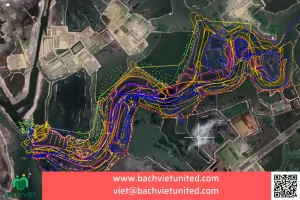
Topographic survey with scale 1/2000 by UAV in An Lao District, Binh Dinh Province
Hop Nhat Bach Viet Co., Ltd performed topographic survey with scale 1/2000 by UAV in An Lao District, Binh Dinh Province. Purpose of the survey is to make zoning planning at village 1, An Toan Commune, An Lao District, Binh Dinh province. Now, let’s learn the method and equipment to implement this bidding package.
Contact for consultation and quotation of topographic survey by flycam in Binh Dinh province 0903692185
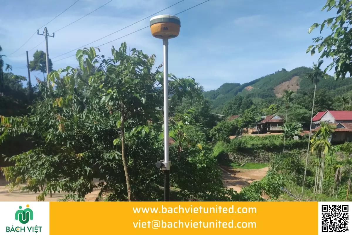
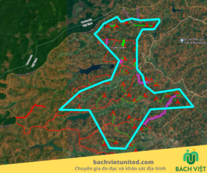
Scope of topographic survey wtih scale 1/2000 is 100 Ha. The purpose is for research of zoning planning in An Toan commune, An Lao district, Binh Dinh province.
The terrain is low hills, densely populated areas. Traffic is mainly dirt road.
The topographic survey serves to make planning more beautiful and more effective to develop the local economy. Especially, developing the field of accommodation and tourism in the locality.
Read more: KHẢO SÁT ĐỊA HÌNH BẰNG FLYCAM THÀNH LẬP MÔ HÌNH 3D
Equipments used for topographic survey with scale 1/2000 by UAV includes:
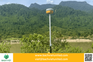
- Device GNSS Hi Target V30 Plus
- Flycam Phantom 4 RTK
- Flycam Mavic 2 Pro
- Other equipments and accessories
Personnel performing topographic survey with scale 1/2000 by UAV in Binh Dinh province
The personnel of Bach Viet contractor includes 5 surveying and mapping engineers. The project is implemented in combination with 5 neighboring projects in communes:
- An Nghia
- An Quang
- An Vinh
In An Lao District, Binh Dinh province.
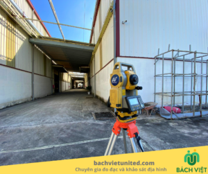
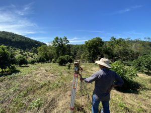
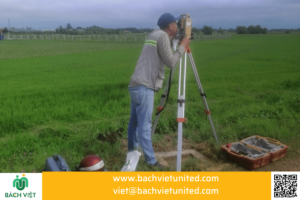
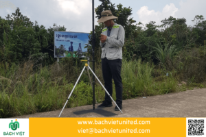
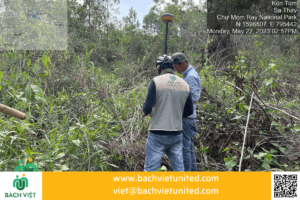
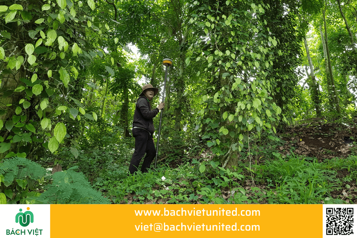
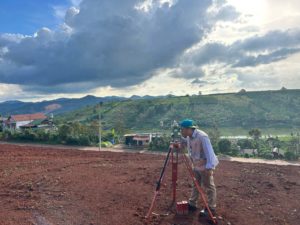
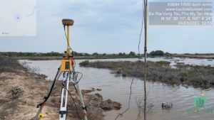
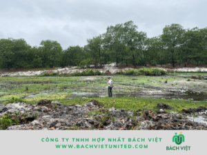
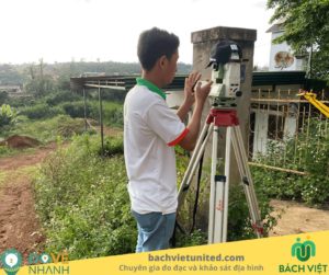
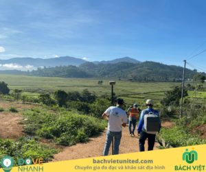
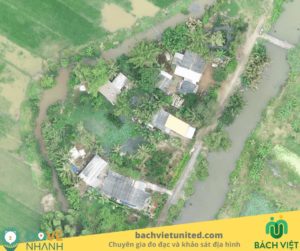
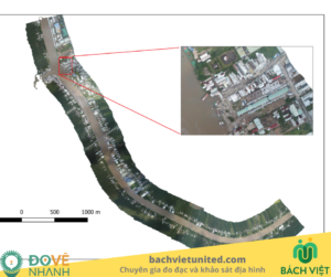
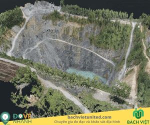
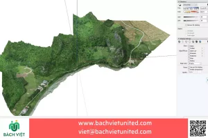
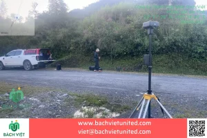
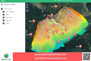
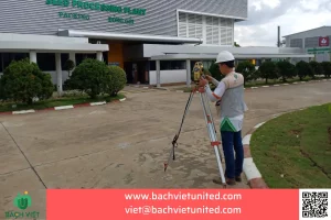
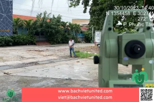
Some pictures of topographic survey with scale 1/2000 by UAV in An Lao District, Binh Dinh Province
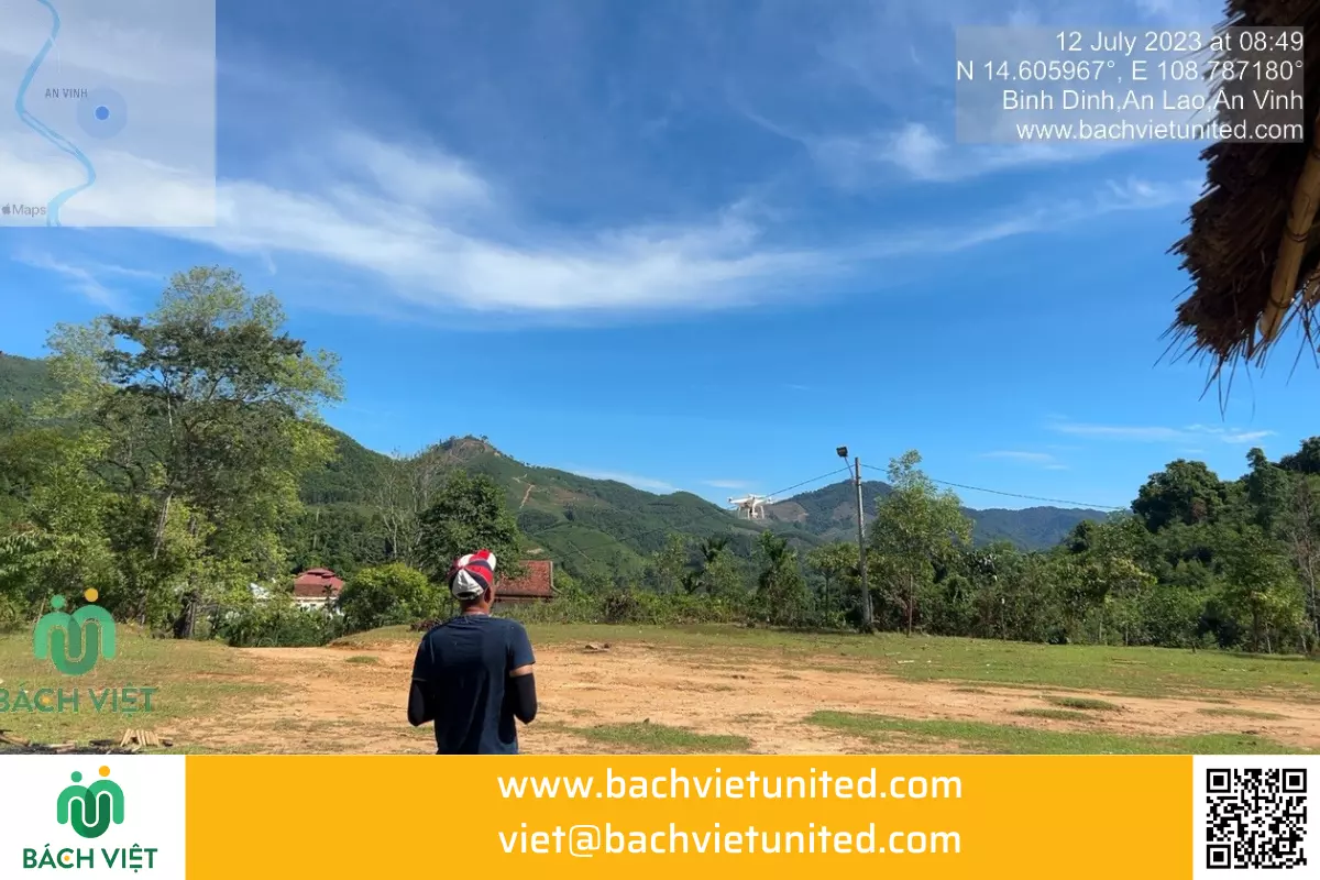
Topographic survey with scale 1/2000 in An Lao District, Binh Dinh Province
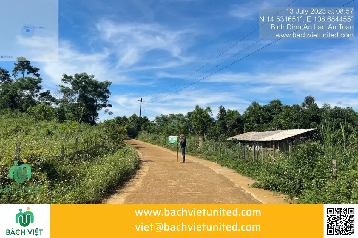
During the topographic survey, we took pictures to report to the investor.
Read more: KHẢO SÁT ĐỊA HÌNH 1/500 NAM GIANG QUẢNG NAM

