Dự Án
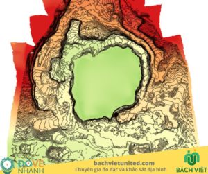
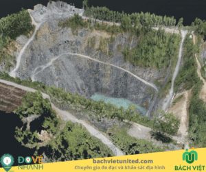
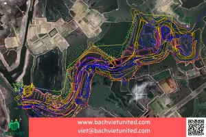
Topographic survey of Nui Coc lake bottom in Thai Nguyen province
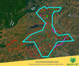
Topographic survey 1/500 of Nui Coc lake bottom in Phuc Xuan commune, Thai Nguyen city, Thai Nguyen province. What equipment is used to survey and the purpose of underwater terrain survey? Bach Viet will explain in detail in the following.
CONTACT FOR QUOTATION FOR UNDERWATER TOPOGRAPHIC SURVEY 0903692185
Purpose of topographic survey of Nui Coc lake bottom in Thai Nguyen province
Contractor Bach Viet performed topographic survey of the lake bottom to provide data for the embankment design unit for surrounding projects..
Topographic survey 1/500 according to underwater terrain survey standards.
Method of the underwater topographic survey
Equipments used for underwater topographic survey
| No. | Item | Device name | Quantity |
| 1 | Measuring and drawing topographic map 1/500 in detail | GPS Hi Target , ECHO SOUNDER, Total station Leica TCR 1101 | 03 |
| Included equipment | |||
| 2 | Connector | Data transmission cable and link cable types | |
| 3 | Contact | Radios | 02 |
| 4 | Determine coordinates | Mirror pole of the total station | 02 |
| 5 | Levelling-up | Triple leg | 01 |
| 6 | Determine coordinates | Mirror clip | 01 |
| 7 | Report | Camera | 01 |
| 8 | Safety | Labor protection equipment | 02(sets) |
| 9 | Data processing | Computer | 02 |
| 10 | Connector | Data transmission cable and link cable types | |
Method of topographic survey of lake bottom
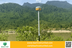
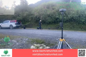
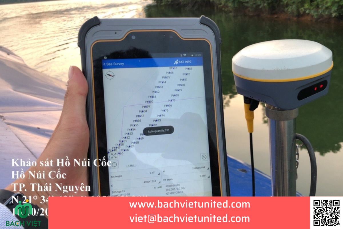
The underwater part was measured using a BATHY 500HD echo sounder with the echo method combined with GNSS RTK technology to determine the locations to be measured. Using RTK measurement technique to measure and draw the cross-section of the underwater section by GPS Hi Target V30 2-frequency with a fixed station placed on the shore and a moving station placed on a depth measuring boat to determine the depth. location at the depth measurement point; depth was determined by a ECHO SOUNDER BATHY 500HD and Eye4software Hydromagic.
-
Testing equipment RTK:
- The RTK measuring equipment includes 2 basic components: base (fixed station) and rover (moving station). Testing of the RTK measuring equipment is performed by using landmarks which known coordinates; then installing the base station locator at one control landmark and placing the rover locator at another. The rover station will automatically receive signals and calculate coordinates in real time. Comparing these results with the original coordinates. And results of checking coordinates and altitude meet the requirements before measuring.
- Testing the depth gauge.
-
Measurement work
- The moving speed of the floating measuring device according to the map scale is from 5 – 4.5 Km/hour.
- Horizontal deviation of the measurement line: the horizontal deviation of the measurement line compared to the design line specified in section 4.3.1.2 of TCCS 96:2015/CHHVN is 2m.
- Regularly monitoring the system screen to detect unusual signs during the collection process to take corrective measures right at the scene.
- When finishing each measurement route and starting new measurement route, the return must ensure speed and time enough for that the wave sensor stabilizes again before starting the new measurement route.
- Water level monitoring work: Because the river bank is quite long, water level monitoring work is arranged at 01 location at the same time: the location right in the middle of the route.
- Water level monitoring must be continuous and started about 20 minutes before the depth measurement survey and ended about 20 minutes after the end of the survey.
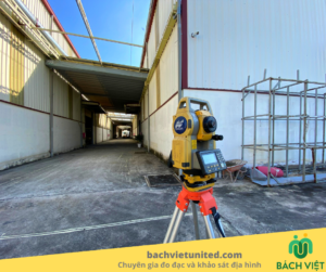
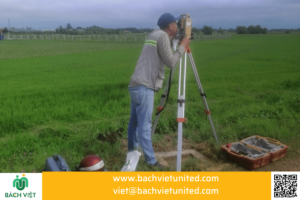
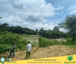
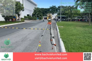
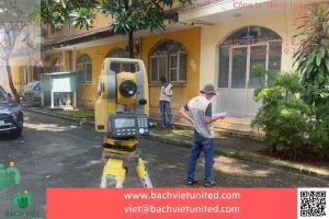
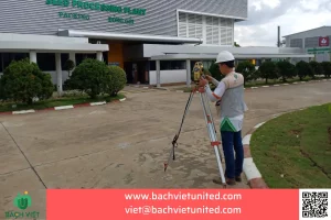
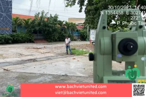
- For areas near the shore with shallow water levels that boats cannot move into, and areas adjacent to the water surface and the shoreline. The contractor uses an total station to determine coordinates and altitude.
- From the established coordinate and altitude control landmarks, plumb the center and balance the machine to one control landmark and orient to the second control landmark. Then, go to the Measuring feature on the total station to measure terrain and ground objects in detail.
- At hidden locations, measure coordinates and altitude from the control landmark to the auxiliary piles. Then, from positions of the auxiliary piles, we conduct detailed measurements.
- In addition, it is able to use the Resection function to set the coordinates and altitude of the machine station at any point to measure in detail (note: the total station location must satisfy that the triangle created by the device location and 2 control points are near-isosceles triangles to ensure accuracy when resection). After having the coordinates and altitude of the machine’s location, measure with Measuring function as usual.
- All coordinates and altitudes of detailed measurement points are saved in the measuring machine and transferred to a computer for data processing. Internal drafting work is done daily. Drawings are compared at the site to complete and avoid errors.
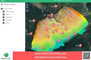
- Data is recorded on the measuring device’s memory, transferred to a computer and processed by a mapping program
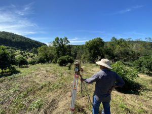
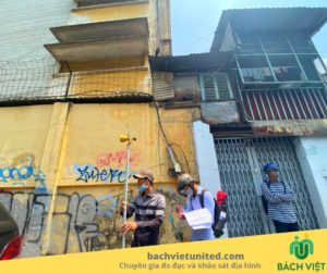
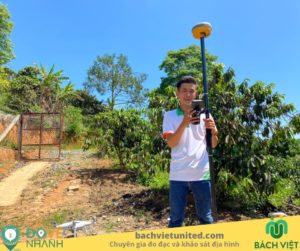
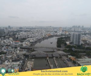
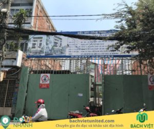
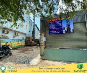
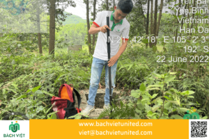
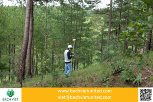
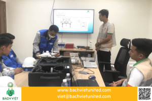
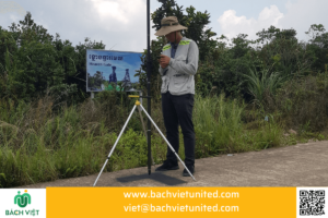
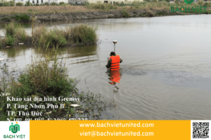
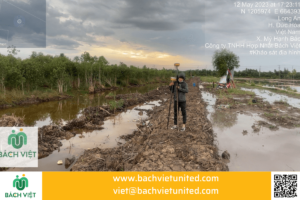
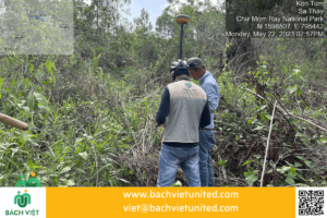
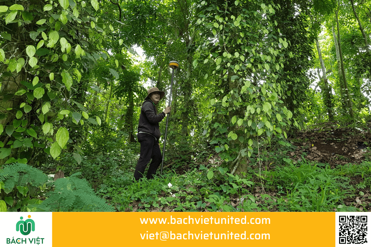
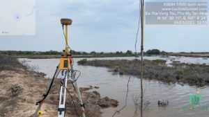
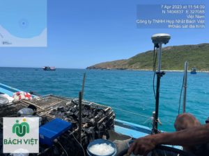
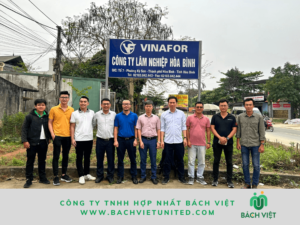
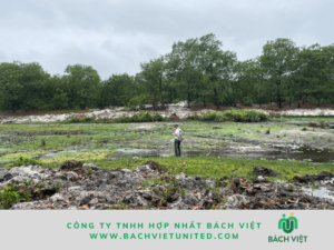
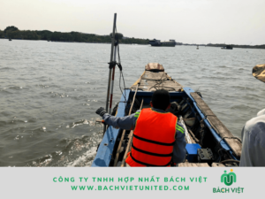
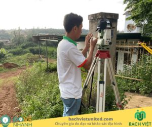
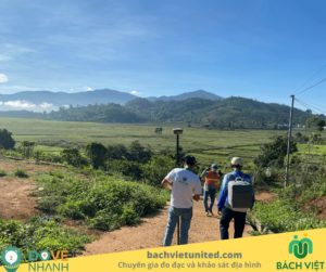
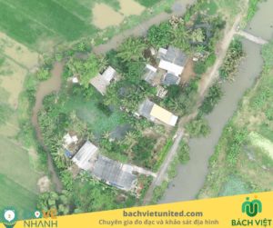
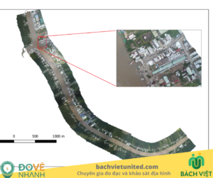
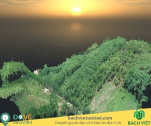
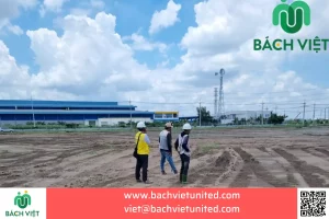
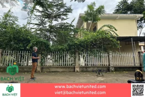
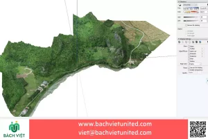
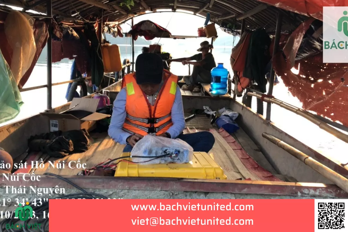
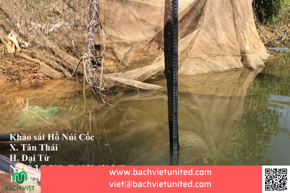
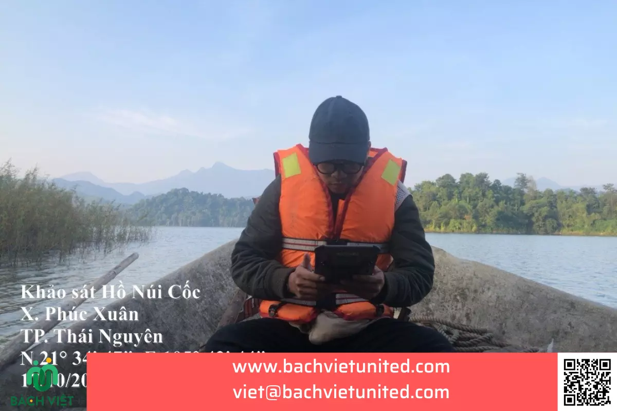
Some images of topographic survey of Nui Coc lake bottom
Below are some images of the underwater topographic survey

Read more: Công ty khảo sát địa hình dưới nước

