Topographic survey 1/500 at factory CP Seeds in Dinh Quan
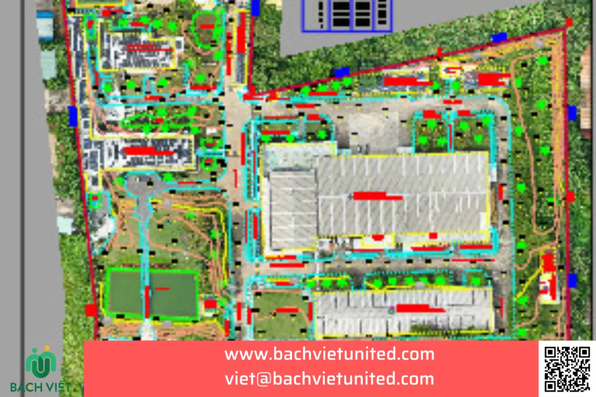
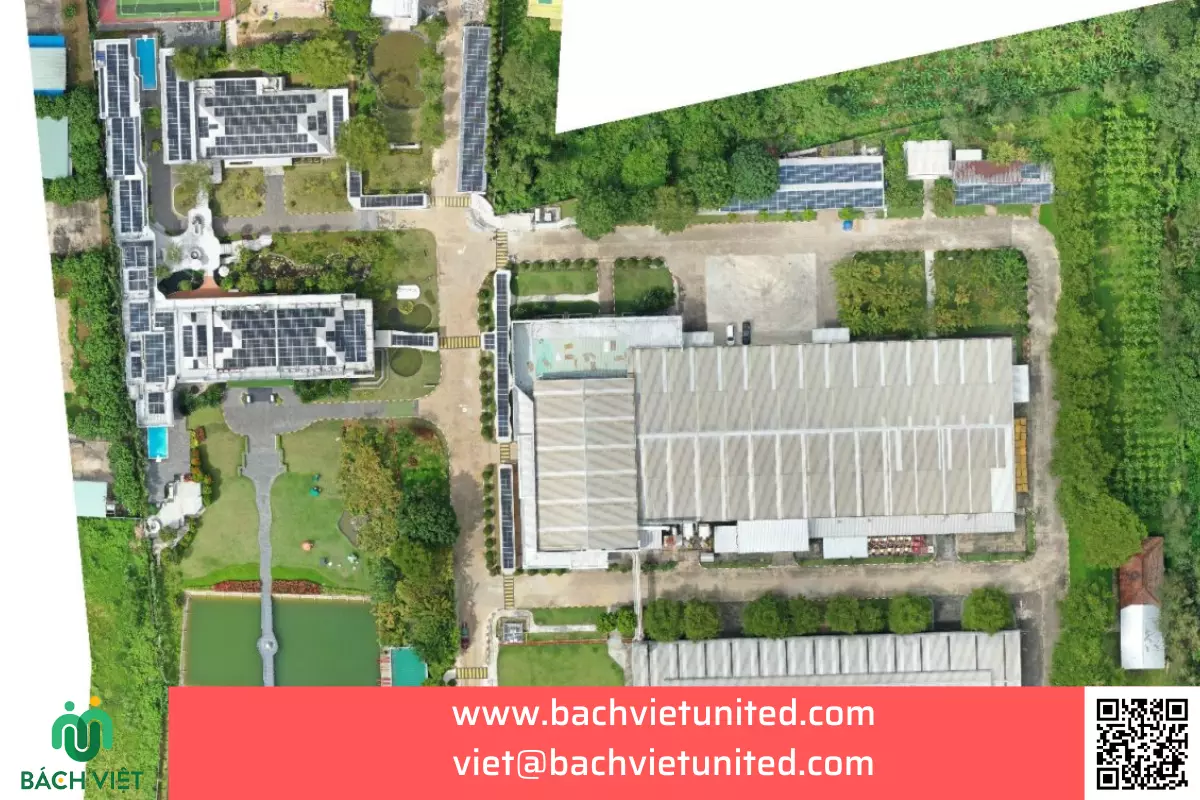
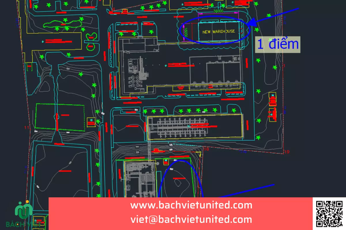
Topographic survey 1/500 for planning adjustment is very necessary. Bach Viet is also the contractor for the 1/500 topographic survey at CP Seeds Dinh Quan factory, Dong Nai province. Let’s learn about the topographic survey 1/500 service in Dinh Quan, Dong Nai.
CONTACT FOR A TOPOGRAPHIC SURVEY 1/500 QUOTATION 0903692185
Brief introduction of the project
- Location: Dinh Quan Industrial Park, National Highway 20, La Nga commune, Dinh Quan district, Dong Nai province.
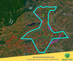
- Scope of survey boundaries and 1/500 scale topographic mapping area: topographic survey 1/500 at Dinh Quan Industrial Park, Dinh Quan district, Dong Nai province:
- The North borders the National Highway 20 residential area;
- The South is Industrial Park Road;
- The East borders the Manufacturing Company;
- The West side is empty land.
- Project scale:
- Work category: Topographic survey 1/500 on land;
- Total area: 6.2Ha (Excluding the portion measuring 10-20m outside the boundary)
- The purpose of topographic survey work is to provide topographic survey records for design.
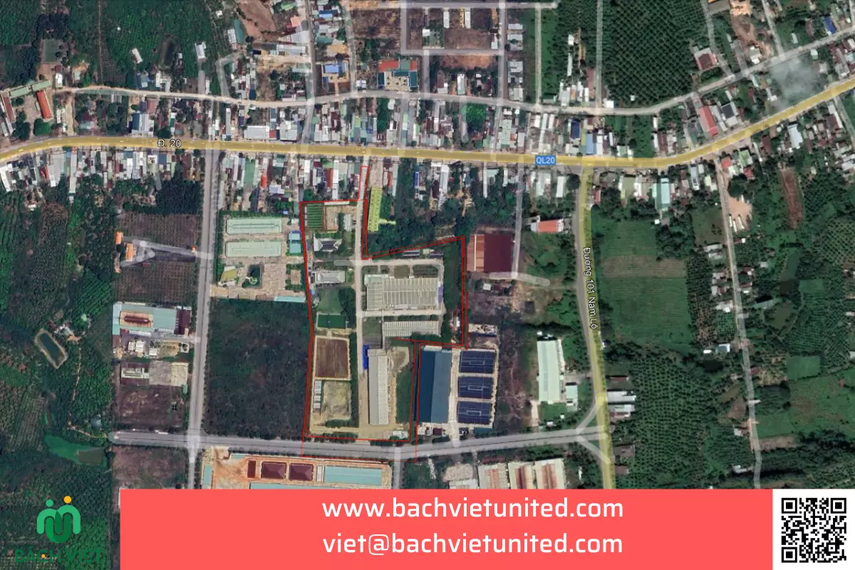
Topographic survey 1/500 in Dinh Quan
Implementation method
The construction unit uses 02 basic cadastral coordinate landmarks, 01 National benchmark issued by the Center for Surveying and Mapping Data – Vietnam Department of Surveying, Mapping and Geographical Information. Mold condition is still usable
| No. | Point number | Grade | Point name |
| 1 | 63525 | Class II | Tran mountain |
| 2 | 635476 | Base cadastral coordinates | Phu Quy |
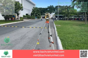
Use coordinate and altitude control landmarks to measure.Using electronic total station equipment to measure.
Survey personnel
| Full name | Position |
| Phan Nguyen Viet | Survey manager |
| Trinh Ho Quoc Anh | Quality manager |
| Nguyen Trong Nghia | Survey leader |
| Nguyen Van Bao | Surveyor |
| Trinh Dac Duy Thanh | Surveyor |
Equipments used in topographic survey in Dinh Quan
| No. | Item | Equipment name | Function | Quantity |
| Levelling | ||||
| 1 | Measuring to determine altitude, levelling technique | GNSS Hi Target V30 | Determining altitude | 01 |
| Measuring to confirm coordinate and altitude | ||||
| 2 | Topographic survey on land with scale 1/500 | Total station Topcon ES 105, GNSS Hi Target V30 | Determining coordinate and altitude. Measurinf and drawing terrain object | 03 |
| Included equipment | ||||
| 3 | Connector | Data transmission cable and link cable types | Included with the device | |
| 4 | Contact | Radios | Contact | 04 |
| 5 | Determining coordinate, altitude. | Mirror pole and reflective prism | Determining coordinate and altitude | 04 |
| 6 | Levelling up | Triple leg | Shelf | 04 |
| 7 | Determining coordinate | Mirror clip | Shelf | 02 |
| 8 | Report | Camera | Photograph | 01 |
| 9 | Safety | Labor protection equipment | Protection | 04 (sets) |
| 10 | Data processing | Computer | Data processing | 02 |
Results of topographic survey 1/500
| No. | Item | Unit | Volume according to contract | Actual implementation volume | |
| 1 | Exploitation of base cadastral coordinates and state altitude | Landmark | 2 | 2 | |
| 2 | Topographic survey 1/500 on land | Ha | 6,2 | 6,2 | |
| 3 | Editing topographic maps and report | File | 1 | 1 |
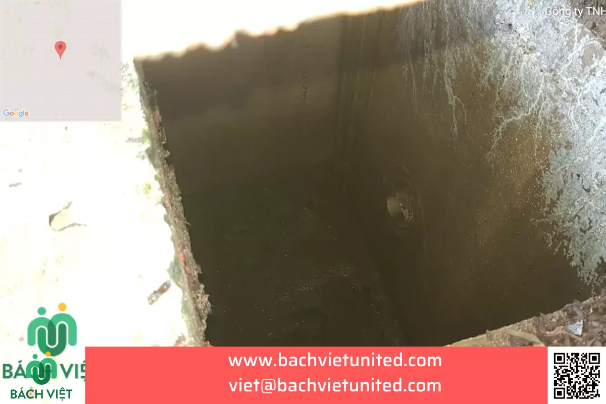
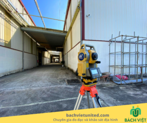
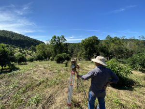
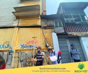
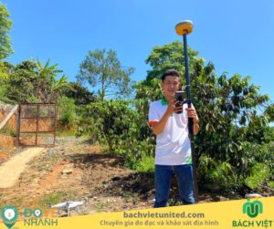
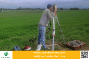
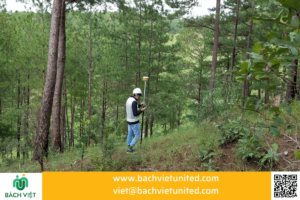
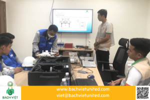
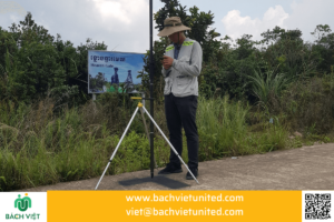
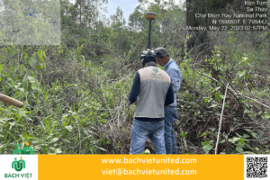
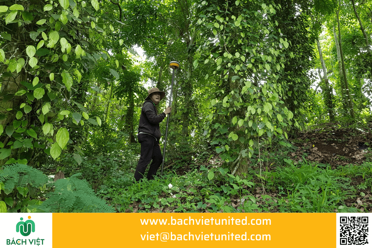
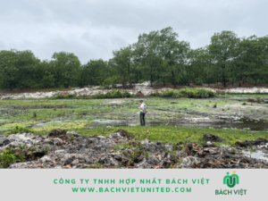
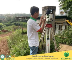
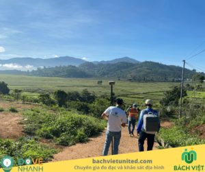
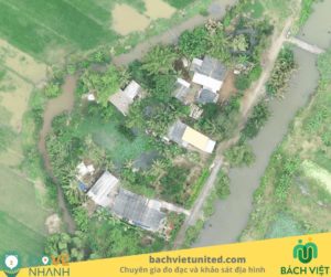
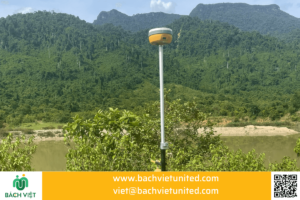
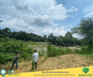
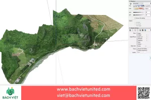
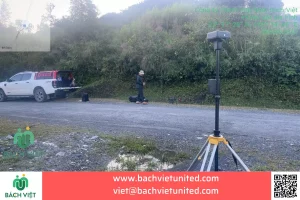
Some images of topographic survey 1/500 at CP Seeds factory in Dinh Quan
