Topographic survey by M300 RTK in Lai Chau Province
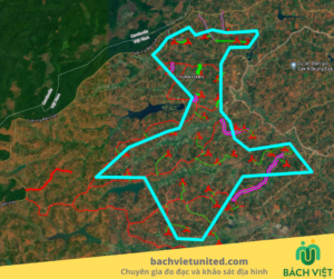
Topographical survey in Lai Chau Province for general planning design. Topographic survey scale of 220Ha with many terrains from plains, terraced fields to hills and mountains. For this project, Hop Nhat Bach Viet Co., Ltd. used flycam DJI Matrice M300 RTK with Lidar sensor Dji Zenmuse L1. Let’s find out with us!
CONTACT FOR QUOTATION OF TOPOGRAPHIC SURVEY IN LAI CHAU PROVINCE 0903692185
Method and volume of topographic survey in Lai Chau province
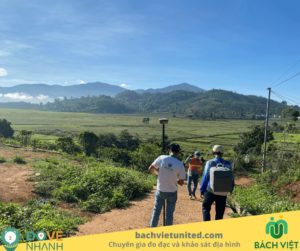
Lai Chau is a province in Western North Vietnam. The terrain includes mainly hills and valleys. Here, the weather in August is the rainy season, many roads were washed out when our topographic survey team passed.
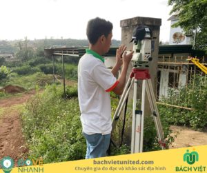
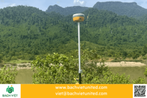
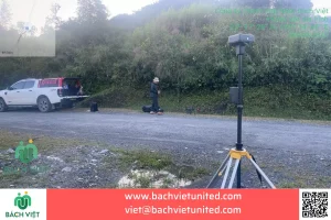
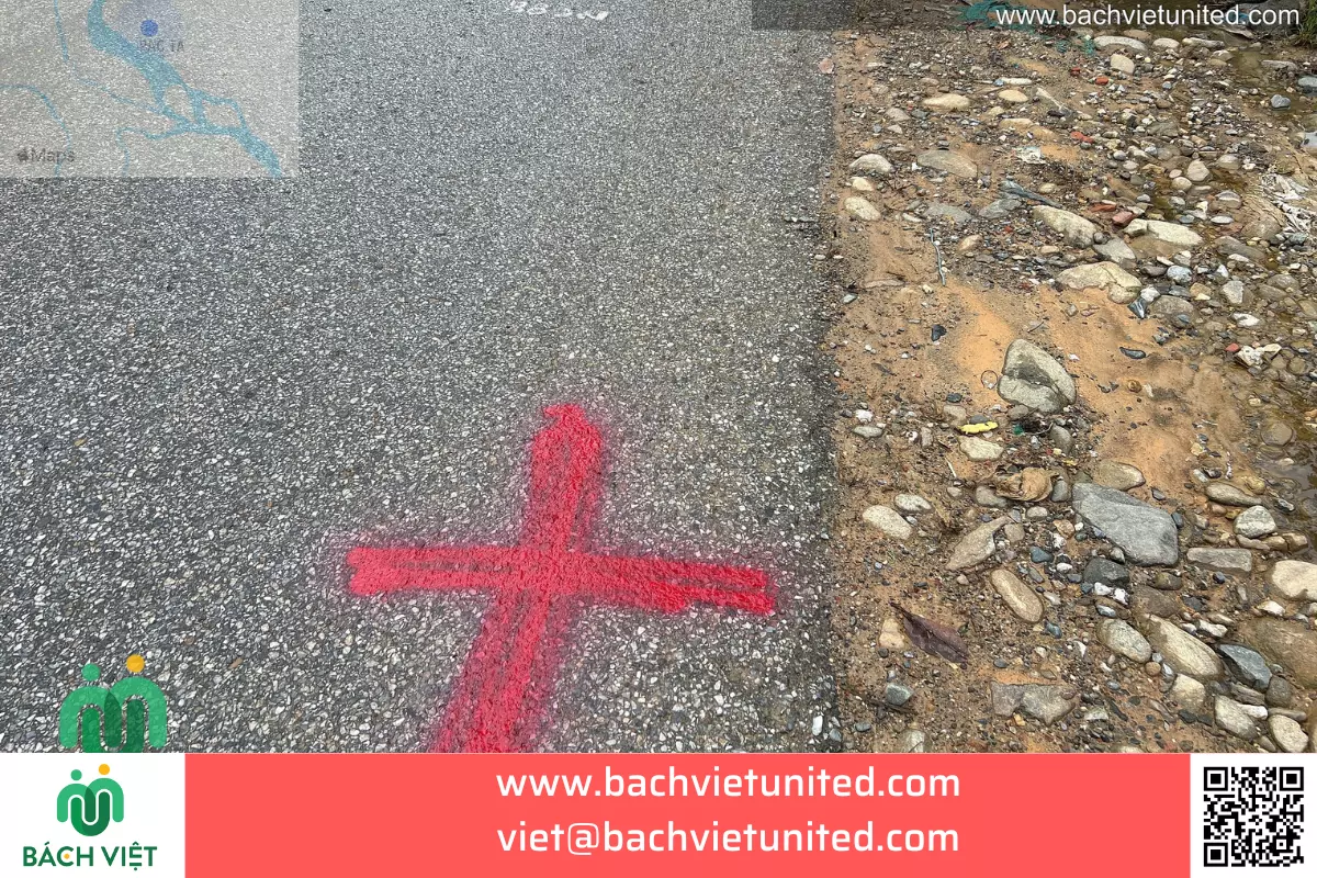
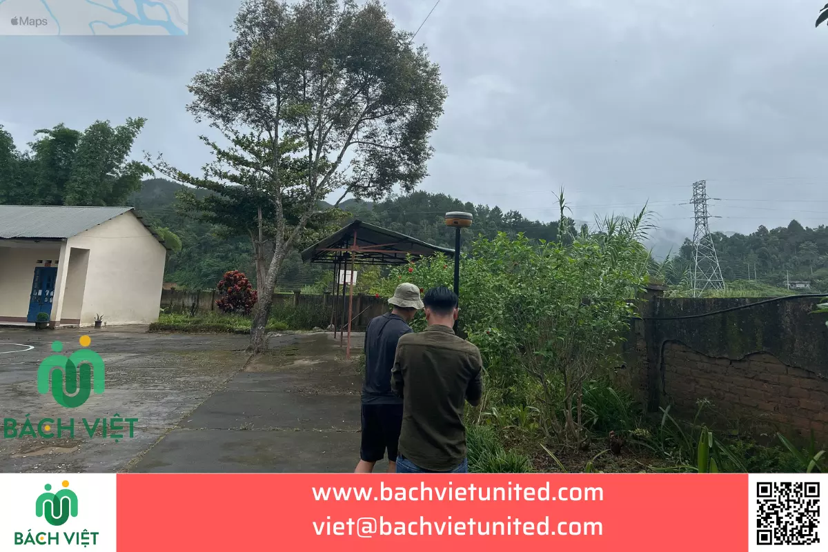
From landmark system of traverse class 2 (elevation according to the basic cadastral landmark), we measured in detail by DGNSS.
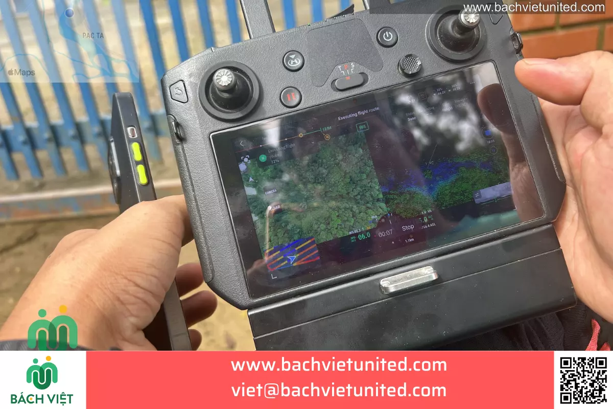
Besides, we use DJI Matrice M300 RTK flycam with Lidar sensor Dji Zenmuse L1 to survey.
Terrain has many high mountains. It is quite complicated to move. Topographic survey technology by Lidar has high accuracy and very detailed measurement points.
Amount of work:
- 3 landmarks of traverse class 2.
- Topographic survey in Lai Chau province 220Ha.
Equipments used in topographic survey with scale 1/500 in Lai Chau Province:
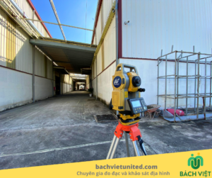
Bach Viet Contractor used device GNSS Hi Target V30 Plus and DJI Matrice M300 RTK with sensor Lidar Dji Zenmuse L1 to survey.
Handover products of topographic survey in Lai Chau province:
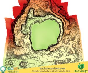
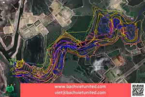
- Topographic map 1/500 and contour 1m: 03 sets; cad files
- Topographic survey report: 03 sets;
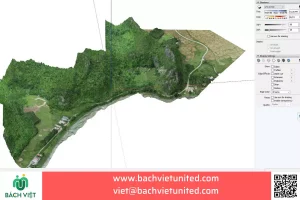
- Topographic plan: dwg file loaded into sketchup for design.
- 3D model Point Cloud: E57;
- Project video clip: 1 clip;
- Image panorama 360: 06 images
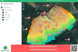
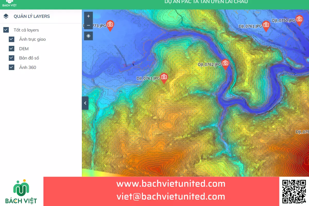
- WebGIS integrates VR 360/panorama data; orthogonal image of the whole project, topographic map, 3D model point cloud for conceptual design.
- Topographic map 1/2000: 03 sets, cad files.
Online products: https://gisapp.bachvietunited.com/projects/pac-ta-tan-uyen-lai-chau/2d
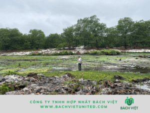
Some images of topographic survey with scale 1/500 in Lai Chau province
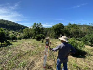
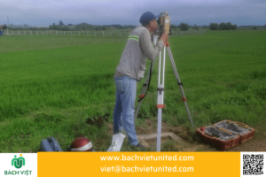
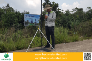
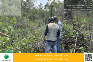
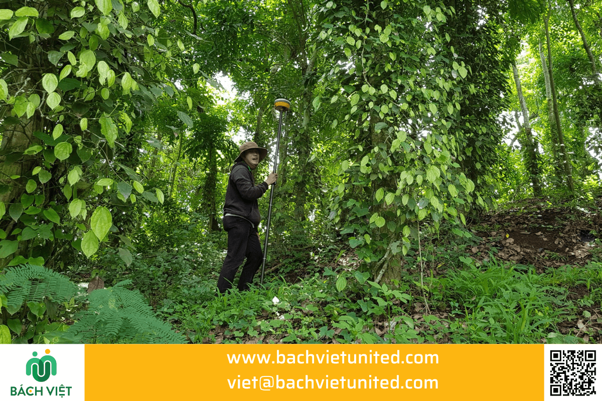
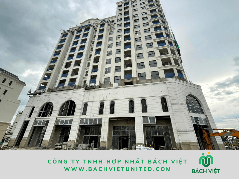
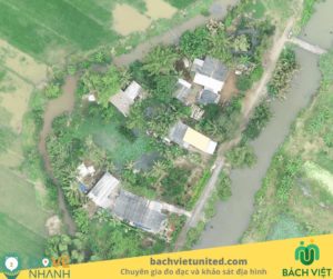
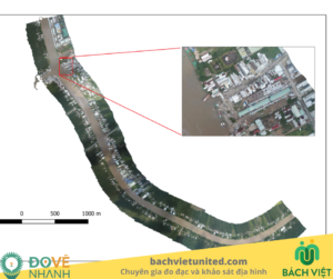
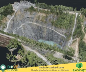
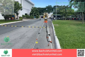
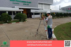
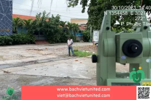
The following are some images of topographic survey by Flycam in Lai Chau Province by Bach Viet.


More: dịch vụ khảo sát địa hình chất lượng
Beside topographic survey, we also provide 3D laser scanning services and 3D topographic survey.
Contact information:
- Hop Nhat Bach Viet Co., Ltd.
- Hotline 02835356895
- Email viet@bachvietunited.com
- Adress: 45 Ngo Quyen Street, Ward 5, Tuy Hoa City, Phu Yen Province
- Headquarters: 369/16 Lo Lu Street, Truong Thanh Ward, Thu Duc City, Ho Chi Minh City.

