Topographic survey of Nhat river in Phu My #1
Nhat river borders the Phu My specialized industrial park project. The topographic survey of the Nhat River serves the design of the river embankment. Bach Viet company is the subcontractor performing the topographic survey of Nhat river bottom. Let’s find out details in the following.
Methods of topographic survey of Nhat river bottom
Surveying the Japanese river bottom to serve river embankment design for the Phu My 2 industrial park project.
Used equipments
The equipment used in the topographic survey of to serve the work of setting coordinates – altitudes control landmarks and making reports is as follows:
| No. | Item | Equipment name | Quantity |
| 1 | Measuring and drawing topographic map 1/1000 in detail | GPS Hi Target, ECHO SOUNDER | 02 |
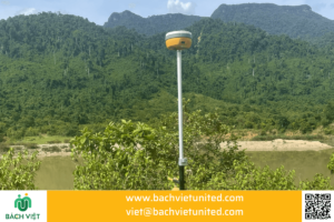
| 2 | Measuring in detail to determine coordinates, altitude and current status | Receiver GNSS Hi Target V30 by RTK technology | 01 |
| Included equipment | |||
| 3 | Connector | Data transmission cable and link cable types | |
| 4 | Contact | Radios | 06 |
| 5 | Determining coordinates | Mirror pole of the total station | 04 |
| 6 | Levelling-up | Triple leg | 06 |
| 7 | Determining coordinates | Mirror clip | 02 |
| 8 | Report | Camera | 01 |
| 9 | Safety | Labor protection equipment | 05(sets) |
| 10 | Contact | Computer | 02 |
| 11 | Connector | Data transmission cable and link cable types | |
Implementation method
Underwater measurement
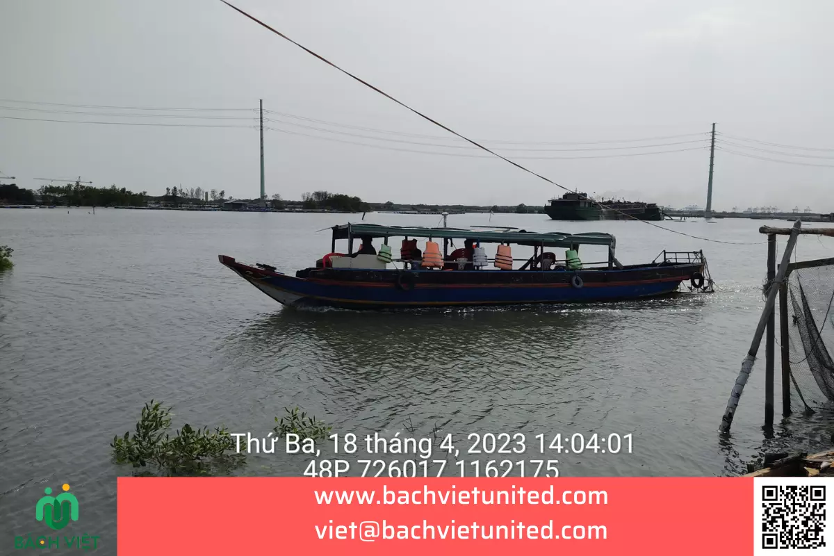
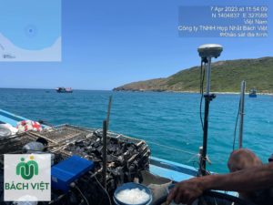
The implementation method is DGPS combined with Echo sounding.

Depth measurements were determined by BATHY 500HD echo sounder and Eye4software Hydromagic.
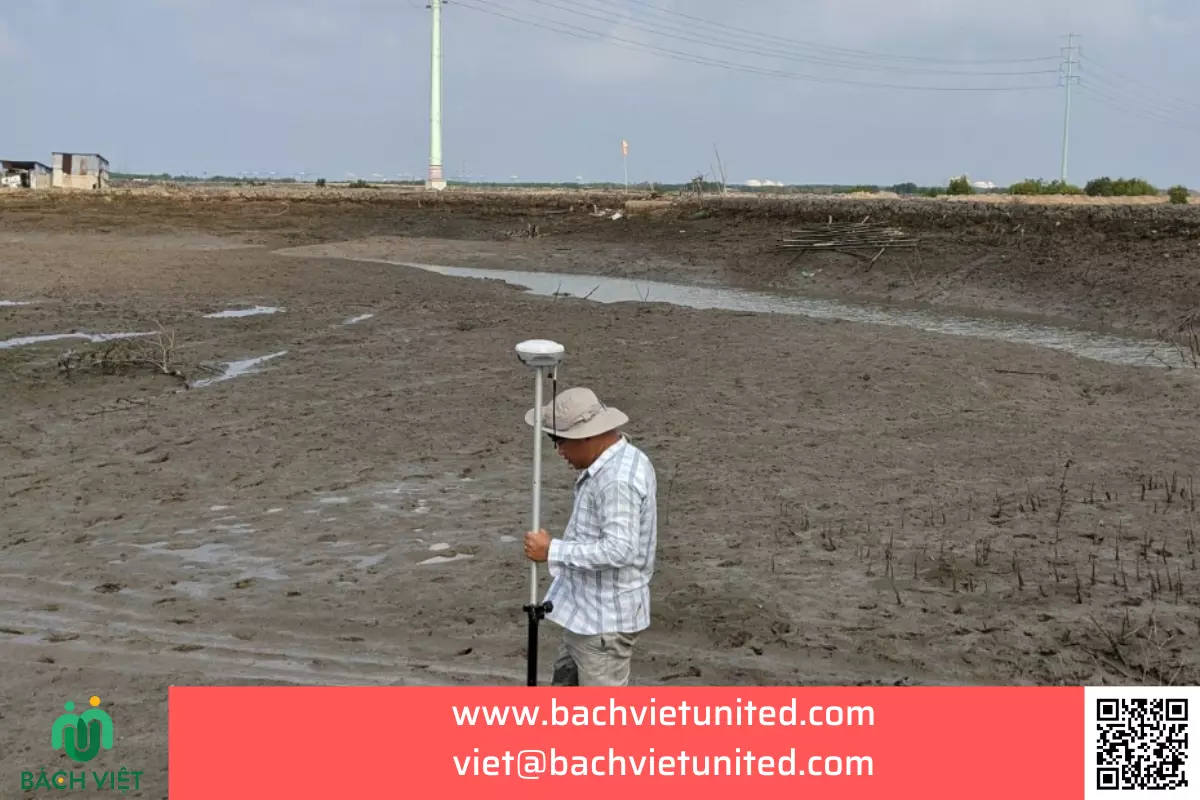
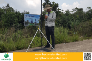
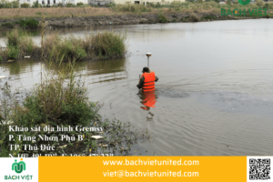
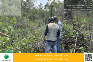
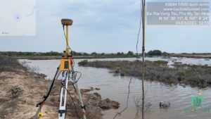
The shoal is measured by DGPS RTK
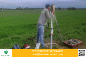
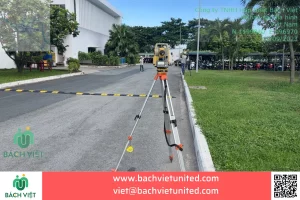
- The topographic plan of measuring area is made by the total station method with an electronic total station or using DGNSS RTK technology to determine the locations to be measured.
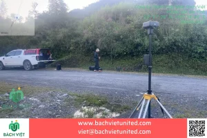
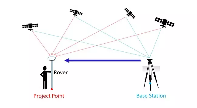
- DGPS RTK measurement method is done by Base and Rover stations
- There must be 2 specialized GNSS signal receiving devices, one device located in a fixed location – called Base station, and the other is a moving device to the points to be measured, called Rover Station.
- The Base station is responsible for receiving signals from many satellites at the same time, in many different frequency bands to ensure accuracy, then transmitting correction signals to the Rover station.The Rover station, in addition to receiving satellite signals like the Base station, must also receive correction signals from the Base station, then compare and calculate to give the most accurate results for the measurement.
Implementation personnel
| Phan Nguyen Viet | Survey manager |
| Full name | Position |
| Trinh Ho Quoc Anh | Quality management |
| Le Van Bao | Topographic survey team leader |
| Ngo Phuoc Khai | Surveyor |
| Bui Duy Thanh | Surveyor |
| Pham Bao Han | Project secretary |
| Ta Liem Hoa | Survey leader |
Difficulties and cautions
The survey area is under the river, the terrain is quite difficult because:
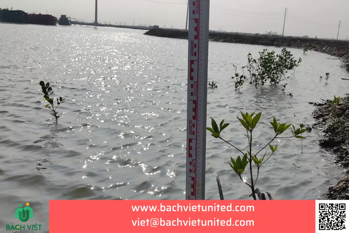
- Tide levels during the day vary widely. At low tide, mudflats or areas near the shore are shallow. At low tide, mudflats or areas near the shore are dry and boats cannot access them. Therefore, it is necessary to measure by DGPS at mudflats, near the shore.
- The area on the river has many oyster farming locations. Therefore, if you are not familiar with the terrain, your boat will run aground in the oyster farming area. It will be very dangerous if the Sona probe gets caught in nets and oyster piles.
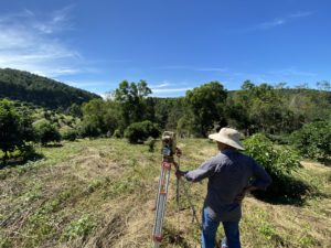
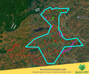
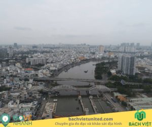
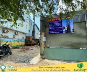
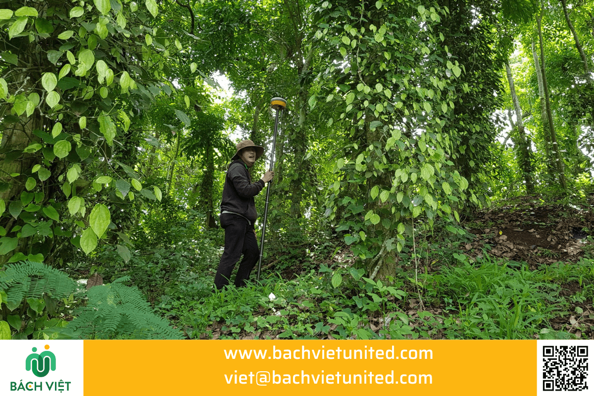
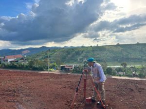
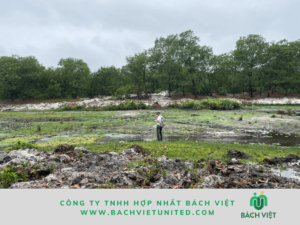
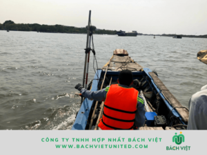
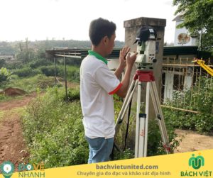
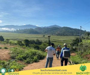
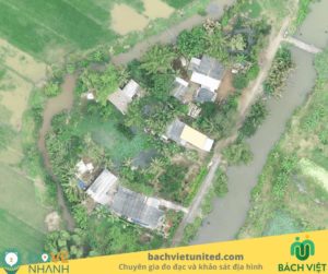
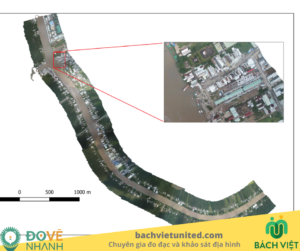
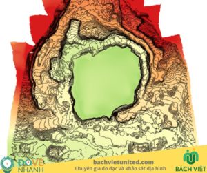
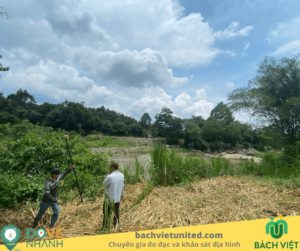
Some images of topographic survey of Nhat river
