Dự Án
Topographic survey of Nhat riverbed in Phu My town, Ba Ria Vung Tau province
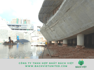
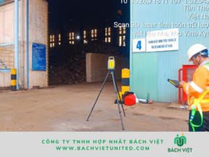
Hop Nhat Bach Viet Co., Ltd performed topographic survey of 67Ha Nhat river by reverb depth measurement and GNSS RTK in Phu My town, Ba Ria Vung Tau province.
About reverb depth measurement of the riverbed in Ba Ria Vung Tau province
Scope: 67Ha including land and water
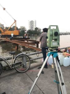
Used equipments:
- Reverb depth gauge
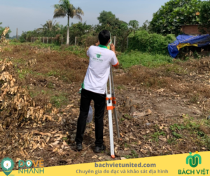
- GNSS receiver
- Handle reverb depth gauge (at locations near the shore, oyster farming areas…)
- Eye4software Hydromagic.
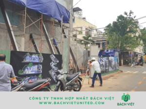
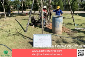
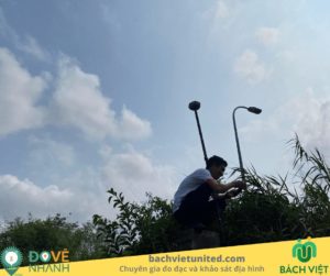
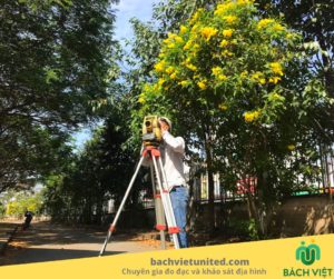
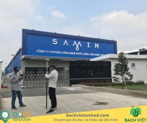
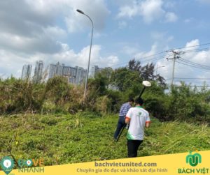
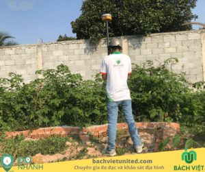
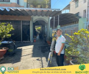
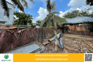
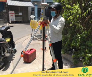
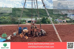
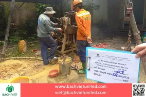
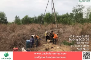
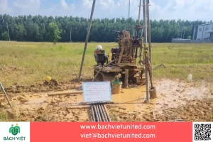
Some pictures of reverb depth measurement in Ba Ria Vung Tau province