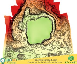
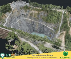
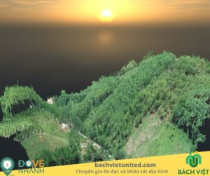
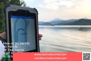
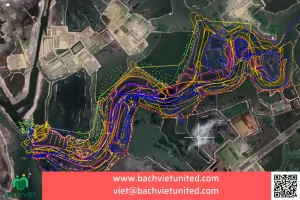
Topographic survey with scale 1/2000 at Thac Ba lake in Yen Bai province
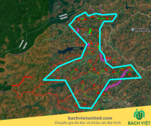
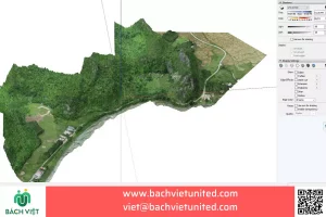
Hop Nhat Bach Viet Co., Ltd perfomed 3D topographic survey with scale 1/2000 at Thac Ba lake in Yen Bai province. Scope: 890 Ha.
The purpose of topographic survey and equipment used
Topographic survey for conceptual design. Survey sponsor: Flamingo Group (Flamingo Dailai resort joint stock company).
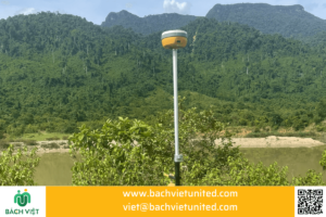
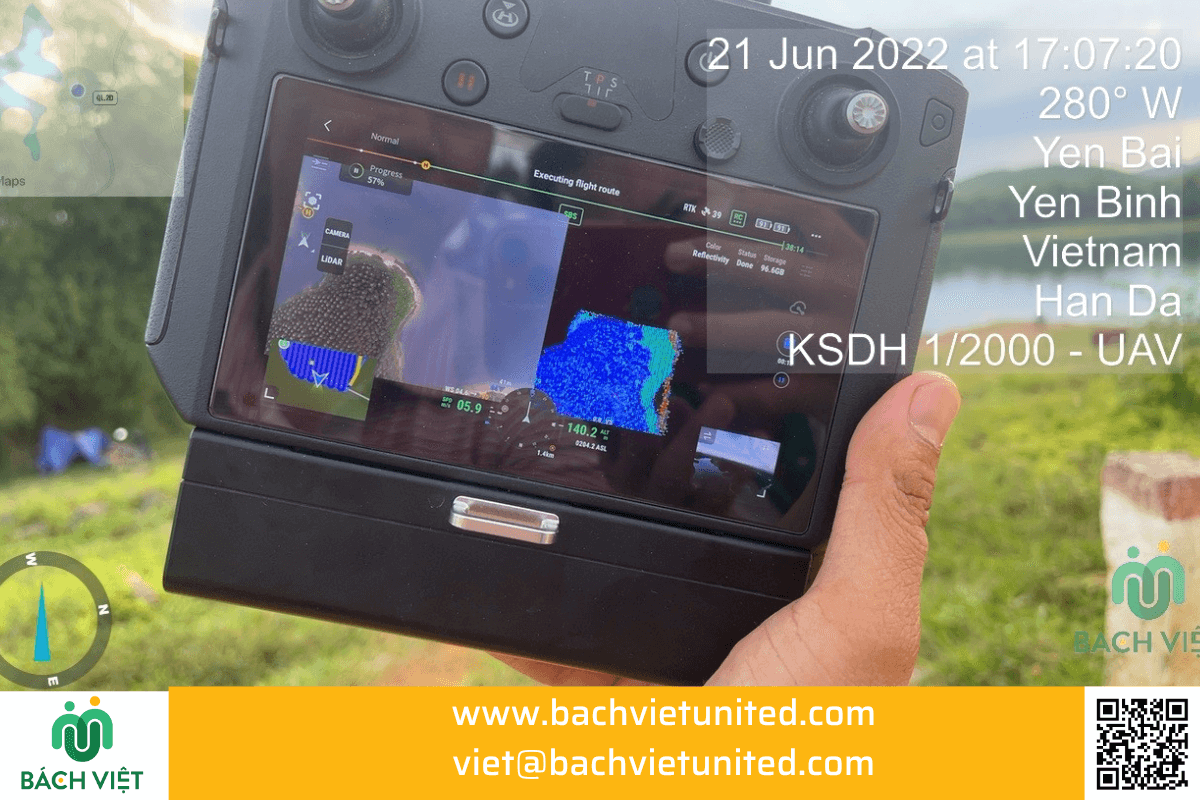
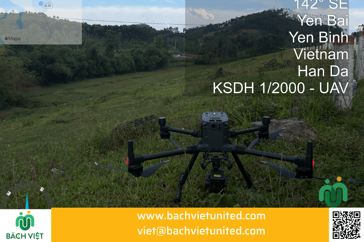
2 equipments were used in topographic survey: DJI Matrice M300 and sensor Zemmuse L1.
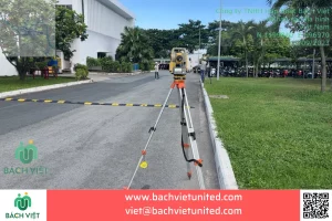
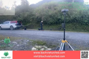
GNSS South and Hi Target GNSS receivers.
The implementation time is 15 days including the application for permission to fly at the Operations Department – Ministry of Defense.
Handover products:
Quality requirements for handover products of 3D topographic survey
- Topographic map data is shown on online map of Google map and Google satellite image.
- Sub-contour, master contour data layers.
- Boundary features: roads, houses, bridges, power poles…
- Water surface elevation
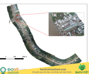
- Orthogonal image of the whole project.
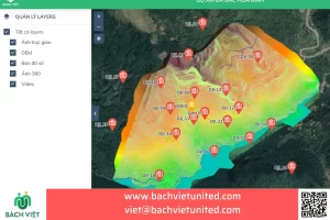
- Virtual reality positions. When clicking on icon, the whole panoramic VR 360 image of shooting point will appear.
- The website supplies measurement tools such as: area, distance, zoom in and zoom out buttons. And, easily move the map by mouse on the computer or swiping on the phone.
- The TOC (table of content) bar shows current data classes.
- Data is maintained online with a permanent link during effective time.
Online 3D data visualization
Basing on the results of processing UAV data, use 3D model in LAS format to put the data on the cloud server and program functions:
- Zoom in and out function, 3D model rotation function
- Able to measure area, size, height… on 3D model
- 3D model faithfully represents the current state of the project’s surface from above.
Online 3D data is maintained on a link. Contact for link.
Handover file khảo sát địa hình 3D
- File 3Dmax – 3D model topographic survey;
- File FBX – 3D model to transfer to different graphics software;
- Link web 3D, 2D – Online 3D, 2D model;
- File DEM – Standard TIFF, KMZ data combined with Google satellite map;
- File Shp, dxf – original topographic plan;
- File dwg – Topographic plan on AutoCAD;
- File JPEG/TIFF – Large resolution 2D photo;
- Link VR360 – Current status image in 360 Panorama;
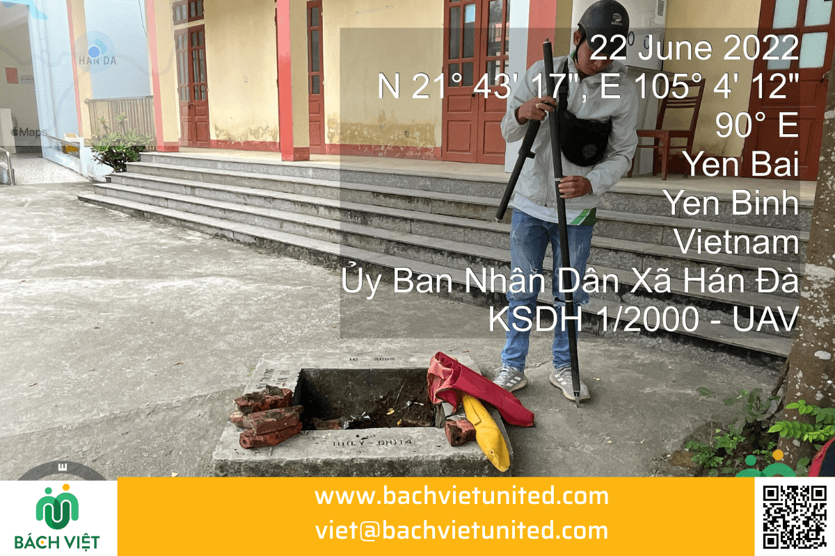
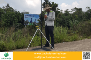
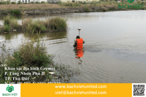
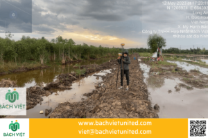
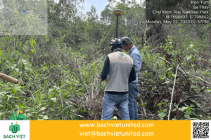
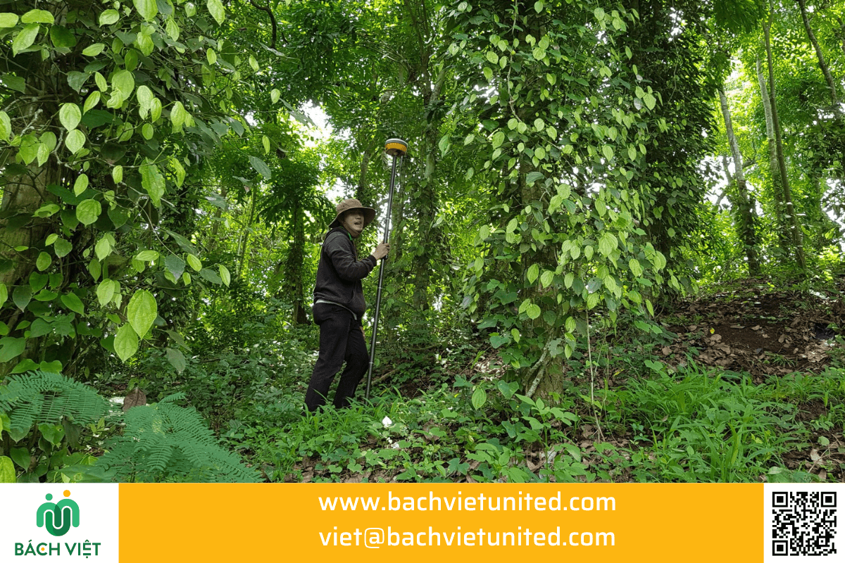
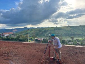
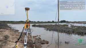
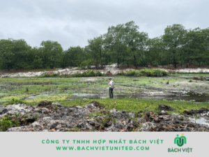
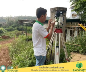
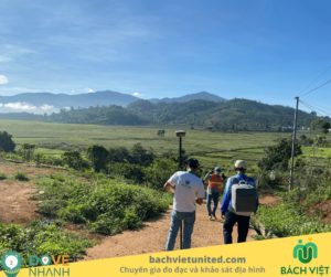
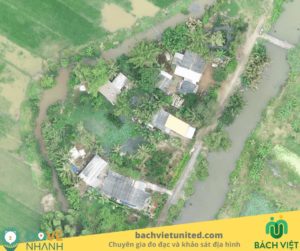
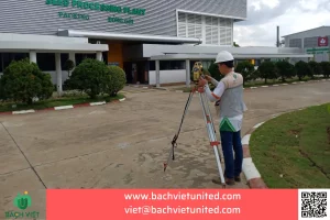
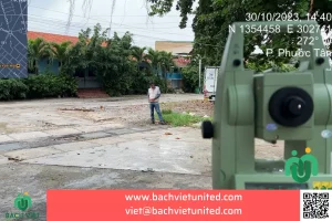
Some pictures of topographic survey in Yen Bai province
