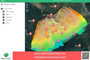
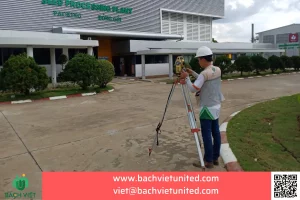
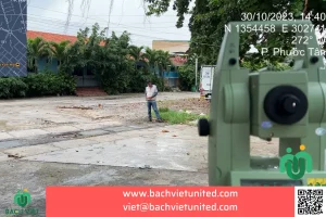
Topographic survey with scale 1/500 in Quy Nhon City, Binh Dinh Province
Contractor Hop Nhat Bach Viet performed topographic survey with scale 1/500 and contour line 0.5m. The purpose is to served planning adjustment
in Ly Nhon commune, Quy Nhon City, Binh Dinh Province. Let’s find out Topographic survey in Binh Dinh Province.
Contact for topographic survey in Quy Nhon City, Binh Dinh Province 0903692185
Topographic description of survey area in Binh Dinh province
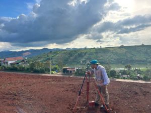
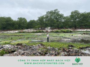
The survey area is a high sand hill with one side facing the sea. The terrain changes a lot with high dunes rising up between sand dunes. The weather during the survey was hot with high temperatures ranging from 38 degrees
It was windy because this is a sea area. With this grade of terrain, the contractor uses the equipment carefully to ensure high-precision of the equipment.
Method of topographic survey in Binh Dinh Province
To perform topographic survey in Ly Nhon Commune, Quy Nhon City, Binh Dinh Province, the contractor follows the process:
- Surveying preliminarily, selecting burying point to control coordinates of class IV and traverse level 2.
- GNSS static measurement from the national landmark to the project’s coordinate datum.
- Levelling class IV, technical standard levelling.
- Detailed measurement with scale 1/500
Topographic survey equipments have been tested and calibrated. Including:
- GNSS receiver
- Auto level Leica
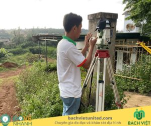
- Total station Trimble C3
- Other equipments
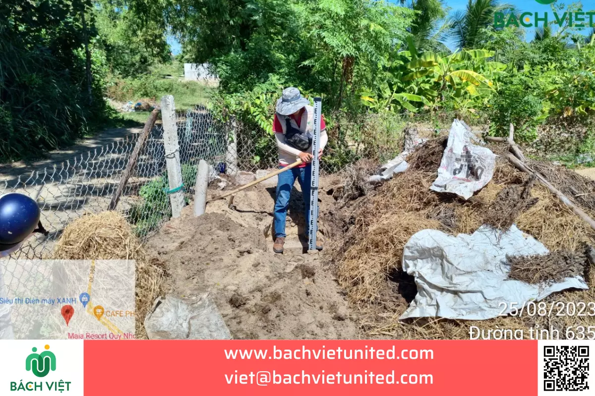
Purpose of topographic survey in Binh Dinh Province
The purpose of surveying in Binh Dinh Province is to submit planning adjustment documents and approve 1/500 investment projects.
Topographic maps must be prepared in compliance with current regulations
Results of topographic survey in Binh Dinh Province
Results of topographic survey in Binh Dinh Province:
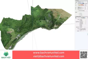
- Topographic map 1/500
- Topographic survey report 1/500
- Coordinate and elevation landmark system
- Landmark sketches
- Contractor’s legal documents
- Records of exploitation of original coordinates and elevation data
- Topographic survey equipment documents
- Other documents
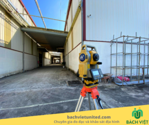
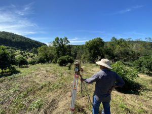
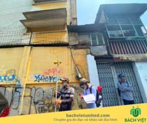
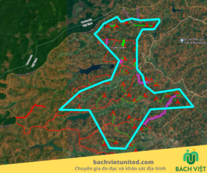
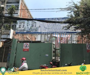
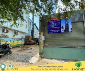
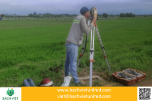
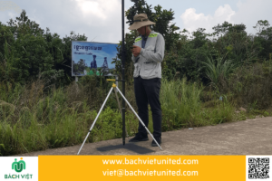
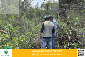
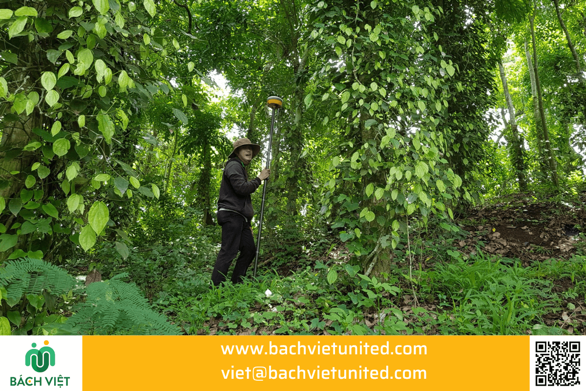
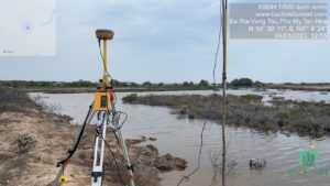
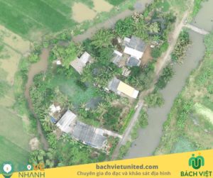
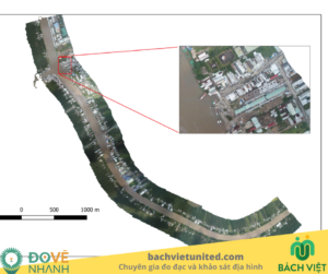
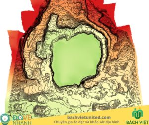
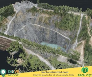
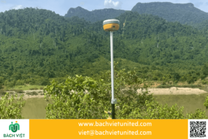
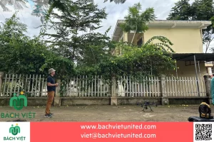
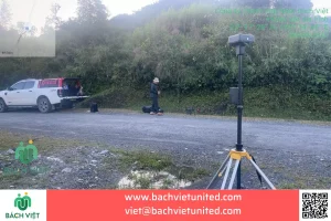
Some pictures of topographic survey in Quy Nhon, Binh Dinh Province
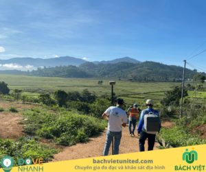
Some pictures of topographic survey in in Ly Nhon Commune, Quy Nhon City, Binh Dinh Province


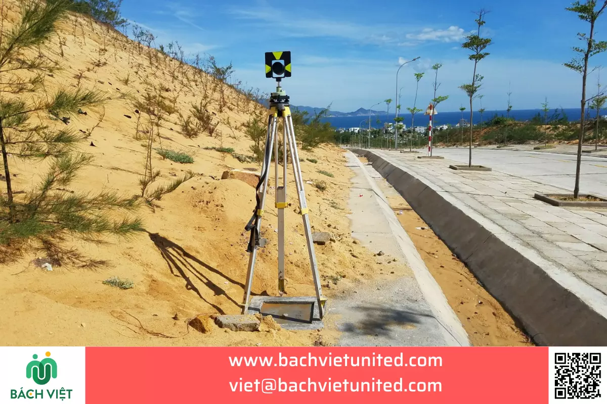
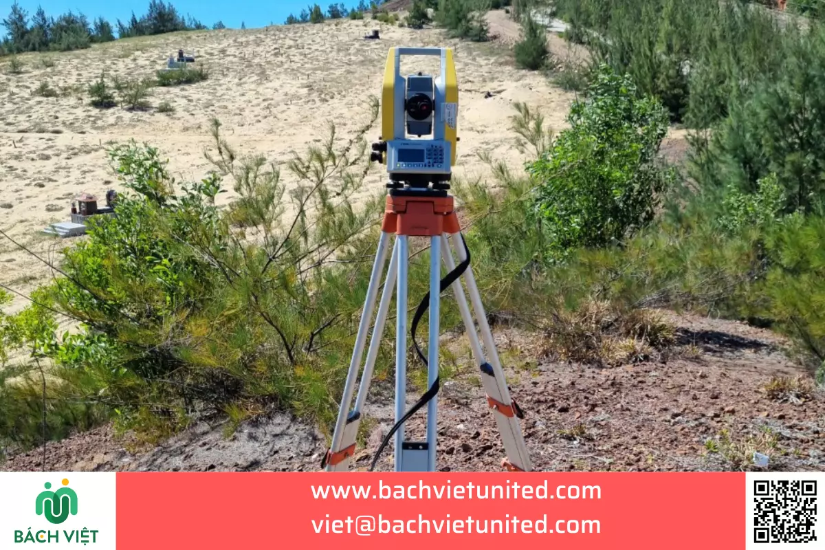

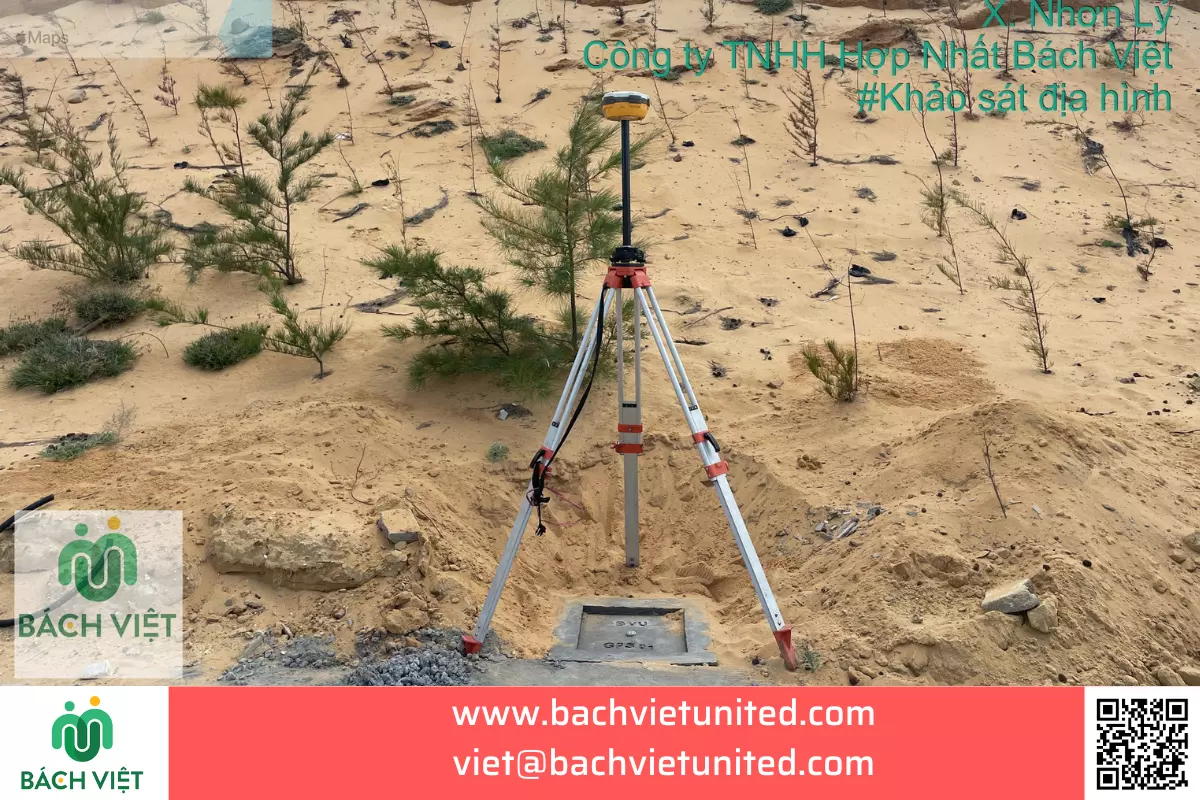
More: KHẢO SÁT ĐỊA HÌNH 1/2000 BẰNG UAV AN LÃO, BÌNH ĐỊNH
Contact information of Topographic survey company in Quy Nhon City, Binh Dinh Province
Branch of Hop Nhat Bach Viet Company Limited
Adress: No. 45 Ngo Quyen Street, Ward 5, Tuy Hoa City, Phu Yen Province
Tel: 0903692185

