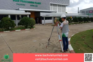
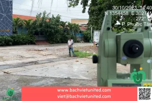
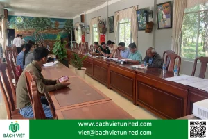
Underwater topographic survey in Vung Tau province
Underwater topographic survey is very necessary, especially for embankment and wharf design work… Hop Nhat Bach Viet Co., Ltd specializes in surveying construction (topography, geology), we have experience in underwater topographic survey: riverbed, seabed. The following is an underwater topographic survey project in Vung Tau province – topographic survey of riverbed.
CONTACT FOR CONSULTATION AND QUOTATION OF UNDERWATER TOPOGRAPHIC SURVEY 0903692185
The purpose of underwater topographic survey – Topographic survey of seabed
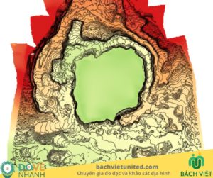
Underwater topographic survey for surveying the shape of underwater topography, depth and shallowness of each location. Thereby, the investor can search pre-feasibility or consult the planning design, project design. For example:
- Embankment design
- Ship channel design
- Barrage design
- Dredging the riverbed mud
- Undersea wharf design
- Marina design
- …A lot of work is related to the construction of structures and reinforcement to ensure the safety of the works on the shore.
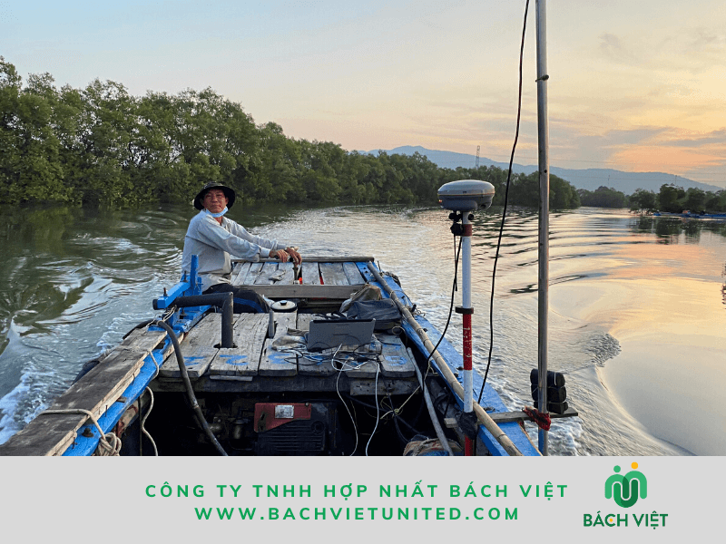
Equipments and method of underwater topographic survey – Topographic survey of riverbed
There are many suitable methods and equipments for underwater reverd depth measurement.
Methods that can be referred to are the RTK method and the PPK method
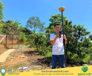
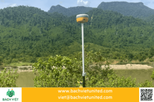
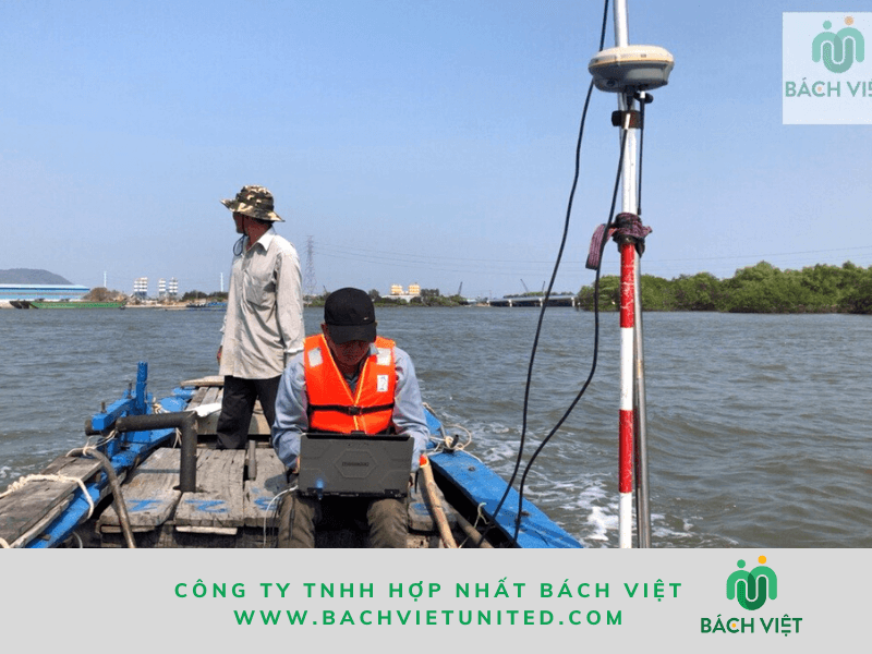
Method of combining reverd depth measurement with RTK is quite simple by 1 base station and 1 RTK mounted on the boat.
In the topographic survey project of Vung Tau riverbed, the contractor used ECHOTRACK CV100 device and GPS Trimble RS8 device.
Data results are processed on Hypack software.
Unit price of underwater topographic survey
The unit price of underwater topographic survey depends on the level of river, seabed. Read more: cấp địa hình của khảo sát địa hình dưới nước
Underwater topographic survey depending on the rate has different unit prices. The unit price for topographic survey of seabed, riverbed and lake bed:
- Topographic survey of lake bed: 1-3 million dong/ha
- Topographic survey of seabed: 3- 5 million dong/ha
- Topographic survey of river bed: 2-4 million dong/ha
However, depending on your project, we have a flexible pricing policy. For price reference, please contact: 0903692185
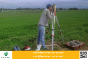
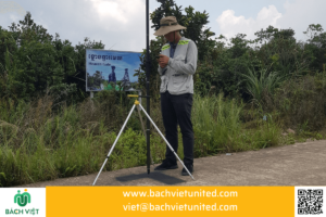
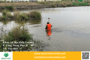
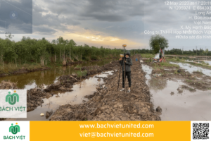
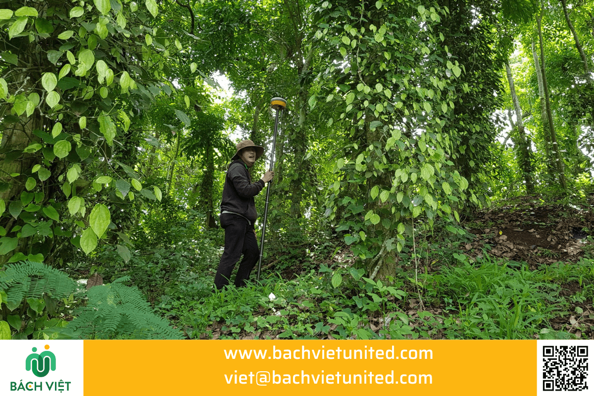
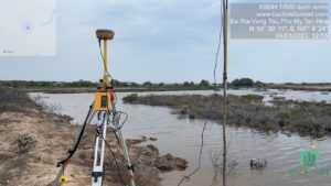
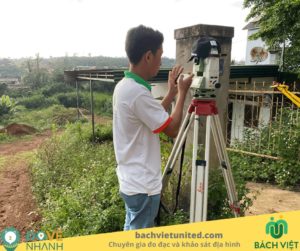
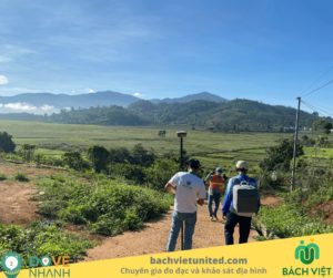
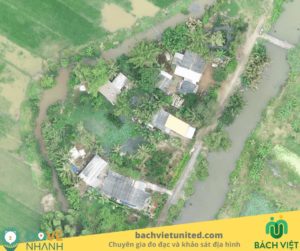
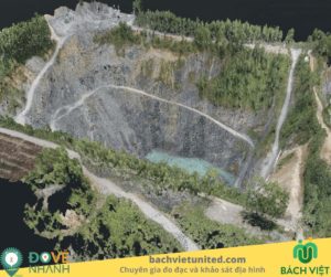
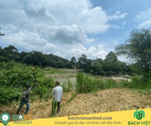
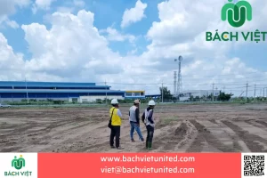
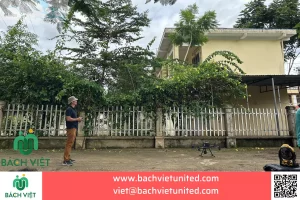
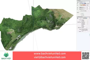
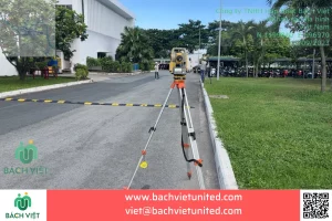
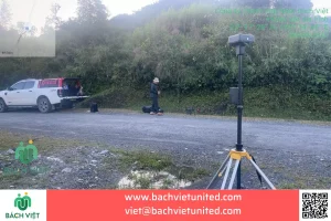
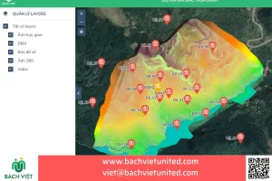
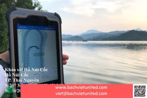
Some pictures of underwater topographic survey in Vung Tau province
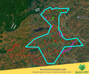
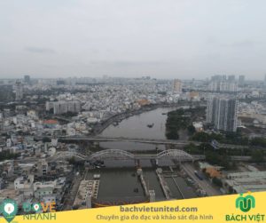
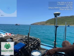
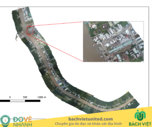
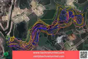
Contractor Hop Nhat Bach Viet Co., Ltd. performed underwater topographic survey in Phu My town, Vung Tau province with a scope of 110Ha.
Total length of riverbed survey is 6km.
Some pictures of reverd depth measurement
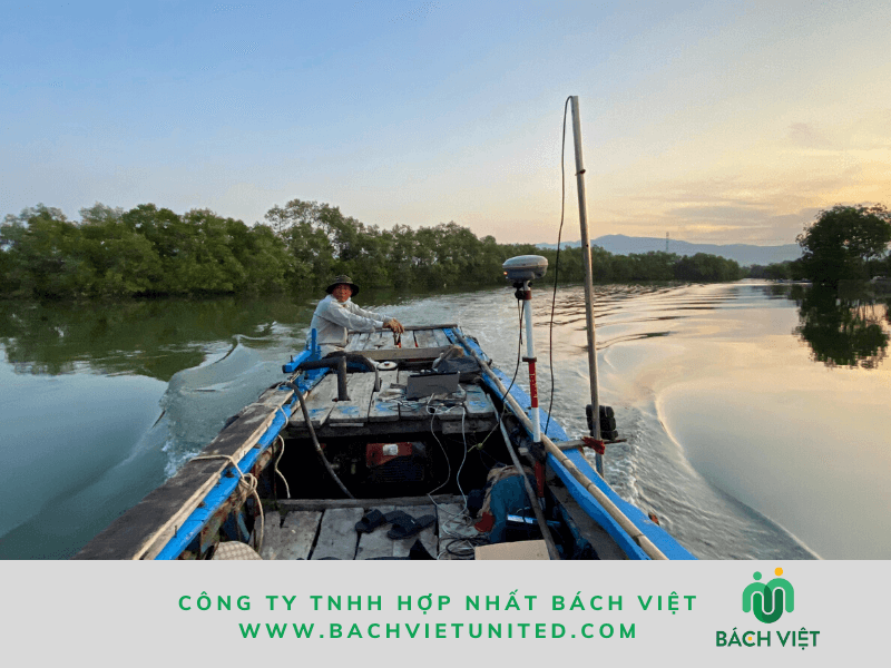
This is the estuary area, affected by high tide. Therefore, the contractor surveyed the underwater topography on 2 shifts: at 4 am to 8 am and at 2 pm to 6 pm.
Contact information for underwater topographic survey company
For quotation and consultation of underwater topographic survey, please contact us.
Contact information:

